

Uwan expected to bring heavy rainfall until Tuesday
PAGASA warned the public of heavy rainfall to be expected over the coming days as a result of Typhoon Uwan.
According to a weather advisory on Saturday, heavy downpours of rain may be expected over the following areas from Saturday to Sunday afternoon:
>200mm
- Camarines Norte
- Camarines Sur
- Catanduanes
- Albay
- Sorsogon
100 mm to 200 mm
- Quezon
- Masbate
- Marinduque
- Northern Samar
- Eastern Samar
50 mm to 100 mm
- Bulacan
- Rizal
- Laguna
- Romblon
- Samar
- Biliran
The following areas will also continue to experience heavy rainfall by Sunday noon to Monday noon:
>200 mm
- locos Norte
- Ilocos Sur
- La Union
- Pangasinan
- Apayao
- Kalinga
- Abra
- Mountain Province
- Ifugao
- Benguet
- Cagayan
- Isabela
- Quirino
- Nueva Vizcaya
- Aurora
- Nueva Ecija
- Tarlac
- Zambales
100 mm to 200 mm
- Metro Manila
- Bataan
- Pampanga
- Bulacan
- Cavite
- Laguna
- Batangas
- Rizal
- Quezon
- Occidental Mindoro
50 mm to 100 mm:
- Batanes
- Oriental Mindoro
- Marinduque
- Romblon
- Camarines Norte
- Camarines Sur
Meanwhile, 100 to 200 mm rainfall may be expected in Benguet on Monday noon to Tuesday noon, while Batanes, Ilocos Norte, Ilocos Sur, La Union, Pangasinan, and Zambales will have 50 mm to 100 mm rains.
“Forecast rainfall may be higher in mountainous and elevated areas. Moreover, impacts in some areas may be worsened by significant antecedent rainfall,” read the advisory.
PAGASA warned the public and concerned agencies to take all necessary protective measures in preparation for the impact of the Typhoon.
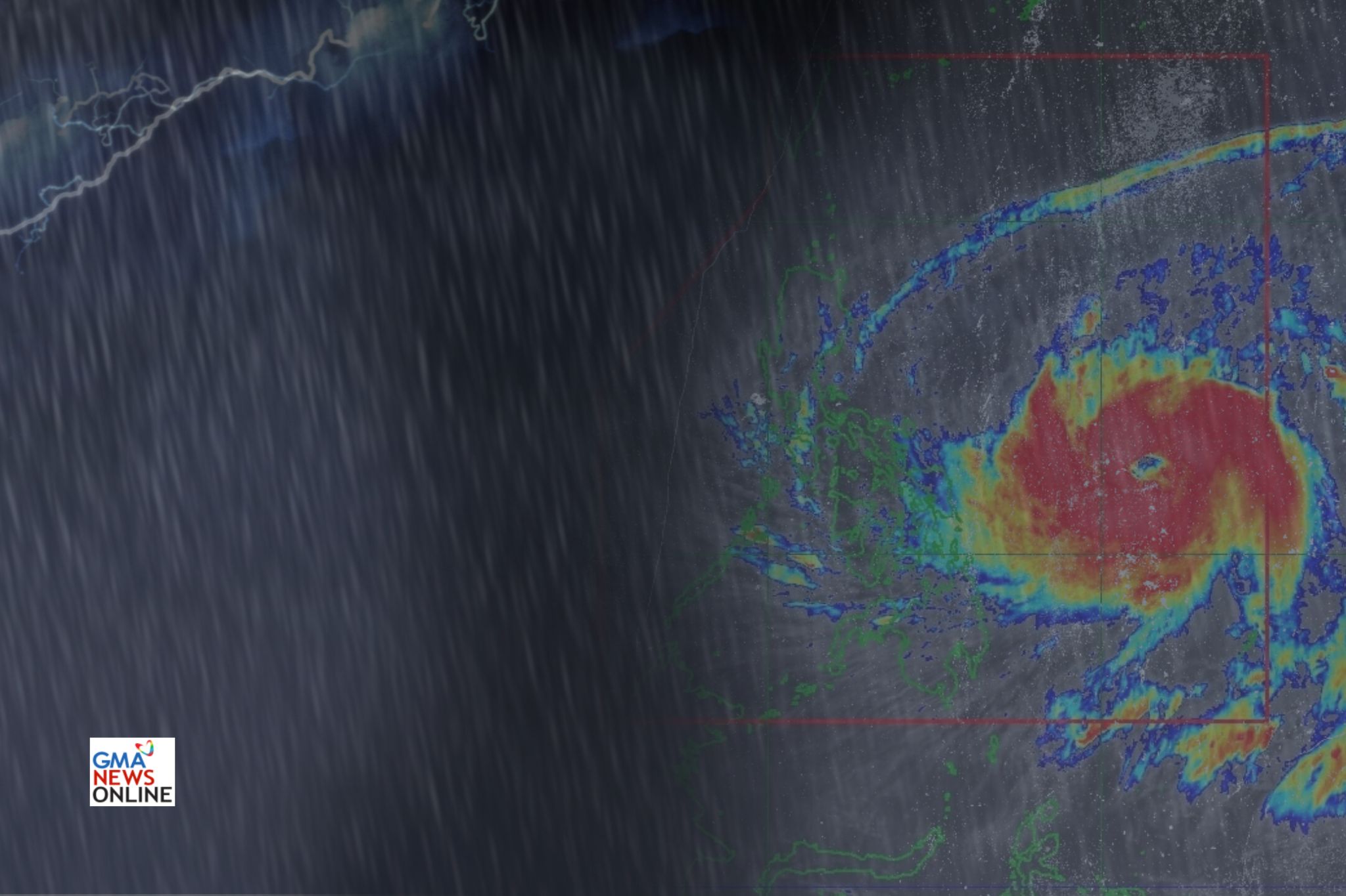
As of Saturday afternoon, Typhoon Uwan was rapidly intensifying across the Philippine Sea as Signal no. 2 was raised in 8 areas nationwide.
Up to Signal no. 5 may possibly be hoisted within the forecast period, as the typhoon is expected to develop into a super typhoon by Saturday night or Sunday.—Jiselle Anne Casucian/ VAL, GMA Integrated News
