

PAGASA deploys storm chasers to Aurora ahead of Uwan's landfall
PAGASA weather specialists have been sent to Aurora province, where Super Typhoon Uwan is expected to make landfall on Sunday evening or early Monday morning.
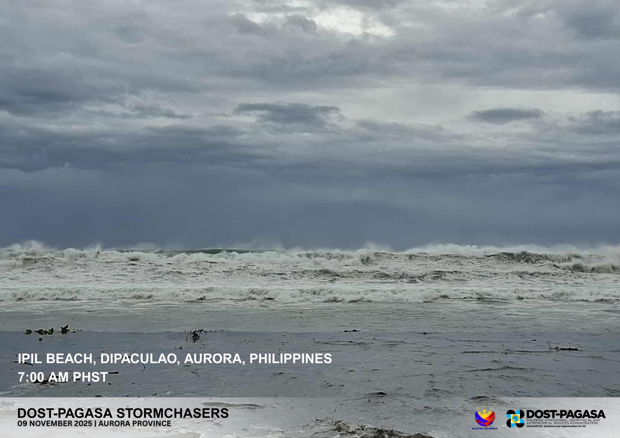
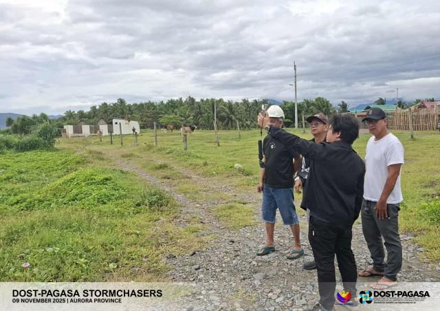
“To augment PAGASA’s observational network, our storm chasers are now out in the field conducting on-site measurements of weather conditions before, during, and after Typhoon Uwan’s landfall, capturing how the storm develops and evolves in real time,” the state weather bureau said.
“After Typhoon #UwanPH passes, they will also conduct damage assessments from strong winds, storm surges, and flooding, helping improve future forecasts and disaster preparedness,” it added.
The weather specialists arrived at the Provincial Disaster Risk Reduction and Management Office of Aurora on Saturday.
As of 8 p.m. Sunday, Signal No. 5 was raised over the northern and central portions of Aurora (San Luis, Baler, Maria Aurora, Dipaculao, Dinalungan, and Casiguran), while the rest of the province was under Signal No. 4.
Uwan has maximum sustained winds of 185 km/h near the center and gusts of up to 230 km/h, moving northwestward at 30 km/h.
"On the track forecast, the center of the eye of Uwan will make landfall at or near its peak intensity (e.g., as a super typhoon or an upper limit of typhoon) over Aurora (i.e., anywhere along the coastline from Baler to Casiguran) tonight or tomorrow (November 10) early morning," PAGASA said.
"After landfall, Uwan will traverse the mountainous terrain of Northern Luzon and emerge over Lingayen Gulf or the coastal waters of Pangasinan or La Union tomorrow morning. The interaction with the terrain will cause Uwan to weaken significantly, but it is expected to remain as typhoon throughout its passage over Northern Luzon." —VBL, GMA Integrated News
