

PAGASA lifts storm surge warning as Typhoon Uwan moves away from Luzon
The state weather bureau on Tuesday has lifted its storm surge warning for Typhoon Uwan as the weather disturbance continued to move away over the West Philippine Sea.
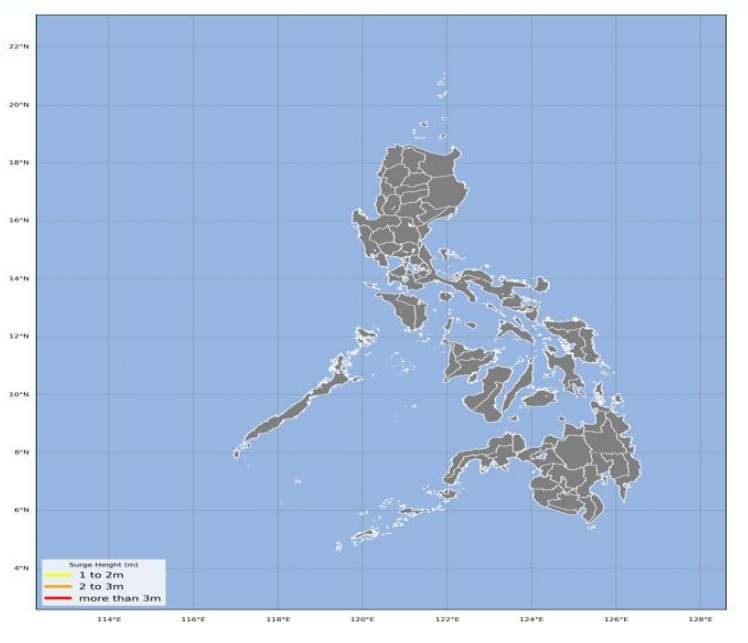
PAGSA issued its final storm surge warning for Uwan at 2 a.m. Tuesday.
It said the threat of a storm surge in coastal areas have ceased with the typhoon moving to exit the Philippine area of responsibility.
“Uwan’s areas of maximum winds are now offshore and continue to move farther away from the Philippine landmass. However, wind driven waves may still affect low-lying coastal communities,” PAGASA said.
In its 11 p.m. tropical cyclone bulletin on Monday, PAGASA said Signal No. 2 remains in effect in 13 areas in Luzon as the typhoon maintained its strength and moved northwestward over the West Philippine Sea.
As of 10 p.m. Monday, Uwan was spotted 245 km west northwest of Laoag City, Ilocos Norte or 245 km west northwest of Sinait, Ilocos Sur.
It is packing maximum sustained winds of 120 km/h near the center and gusts of up to 150 km/h, and moving northwestward at 15 km/h.
Uwan is expected to follow a recurving path, turning northward then northeastward on Tuesday for most of the forecast period.
In PAGASA’s 11 p.m. bulletin, the state weather bureau said the typhoon is forecast to exit the PAR by early Tuesday morning and reenter the PAR on Wednesday evening, making landfall over the southwestern coast of Taiwan and resulting in its further weakening. — JMA, GMA Integrated News
