

Signal No. 1 up in Batanes as Uwan re-enters PAR
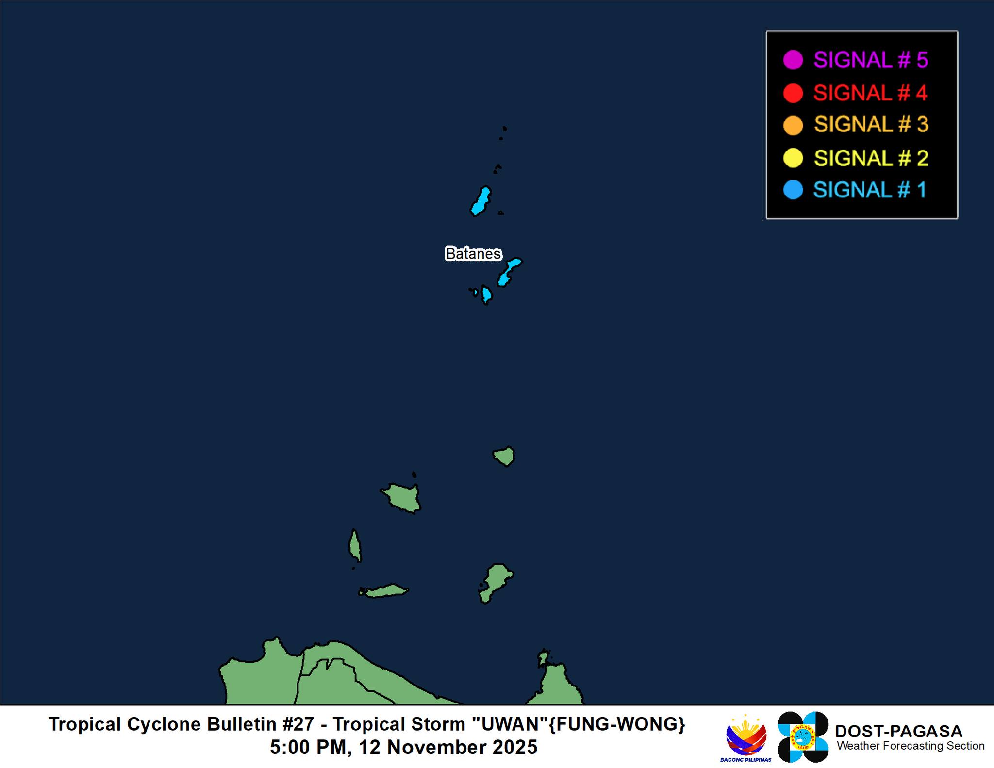
Batanes is now under Tropical Cyclone Wind Signal No. 1 as Tropical Storm Uwan re-entered the Philippine Area of Responsibility on Wednesday afternoon, the state weather bureau said.
In its 5 p.m. tropical cyclone bulletin, PAGASA said the center of Uwan was spotted 210 kilometers north of Itbayat, Batanes.
It is approaching southern Taiwan, moving east northeastward at 10 km/h. It is packing maximum sustained winds of 75 km/h with gustiness of up to 90 km/h.
Uwan is forecast to move generally northeastward until it makes landfall over southern Taiwan on Wednesday evening.
It will then emerge over the eastern coastal waters of Taiwan towards Ryukyu Islands by Thursday, November 13.
“Uwan will continue to weaken due to unfavorable conditions and land interaction upon making landfall in Taiwan, until it eventually weakens into a remnant low,” PAGASA added.
According to PAGASA’s 4 p.m. weather forecast on Wednesday, the trough of Uwan may bring cloudy skies with scattered rains and thunderstorms over Ilocos Norte, Batanes, and Babuyan Islands.
Meanwhile, the Intertropical Convergence Zone will bring cloudy skies with scattered rains and thunderstorms over Davao Region, Soccsksargen, and Surigao del Sur.
Metro Manila and the rest of the country will experience partly cloudy to cloudy skies with isolated rainshowers or thunderstorms due to localized thunderstorms.
Uwan, which peaked as a super typhoon, exited PAR early Tuesday morning.
The 21st tropical cyclone to hit the Philippines this year, Uwan battered most parts of Luzon and left 27 dead so far. — JMA, GMA Integrated News
