

Wilma, shear line, amihan to bring cloudy skies, rains over parts of PH
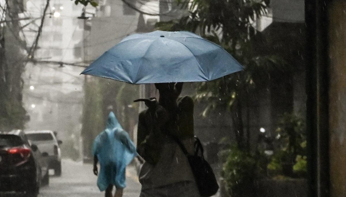
Tropical Depression Wilma, shear line, and northeast monson or amihan will bring cloudy skies with rains over parts of the Philippines on Friday, PAGASA reported.
At 3 a.m. on Friday, the center of Tropical Depression Wilma was at 255 kilometers east of Boronga City, Eastern Samar packing maximum sustained winds of 45 kilometers per hour near the center, and gustiness of up to 55 km/h. It is moving West Southwestward at 15 km/h.
Eastern Visayas, Surigao del Norte, Surigao del Sur, and Dinagat Islands will experience rains with gusty winds due to Tropical Depression Wilma. Flash floods or landslides may occur in these areas due to moderate to heavy rains with at times intense rains. There may be minimal to minor threat to life and property due to strong winds.
Bicol Region, Occidental Mindoro, Oriental Mindoro, Marinduque, and Romblon will have cloudy skies with scattered rains and isolated thunderstorms due to the shear line and flash floods or landslides may occur due to moderate to heavy with at times intense rains.
Northern Mindanao, Zamboanga Peninsula, the rest of Visayas, and the rest of Caraga will have cloudy skies with scattered rains and thunderstorms due to Tropical Depression Wilma and flash floods or landslides may occur in these areas due to moderate to heavy rains.
Cagayan Valley, Cordillera Administrative Region, Aurora, and Quezon will have cloudy skies with rains due to the northeast monsoon with the possibility that flash floods or landslides will occur due to moderate to at times heavy rains.
Metro Manila and the rest of Luzon will have partly cloudy to cloudy skies with isolated light rains due to the northeast monsoon but this will have no significant impact.
The rest of Mindanao will have partly cloudy to cloudy skies with isolated rainshowers or thunderstorms due to localized thunderstorms with flash floods or landslides possibly occurring during severe thunderstorms.
The wind speed forecast in Northern Luzon and the eastern sections of Central and Southern Luzon is strong to gale moving in the northeast to north direction while coastal waters will be rough to very rough.
The western section of Mindanao, the rest of Luzon, and the rest of Visayas will experience moderate to strong wind speed moving in the northeast to northwest direction while coastal waters will be moderate to rough.
The rest of Mindanao will have moderate to strong wind speed moving in the northwest to southwest direction with moderate to rough coastal waters.
Sunrise will be at 6:07 a.m., sunset at 5:26 p.m. — BAP, GMA Integrated News
