

LPA inside PAR has ‘medium’ chance of becoming storm — PAGASA
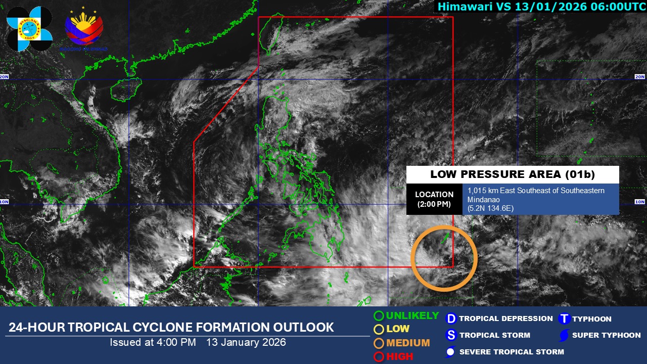
The low pressure area (LPA) inside the Philippine Area of Responsibility has a “medium” chance of developing into a tropical depression within the 24 hours, PAGASA said Tuesday afternoon.
For now, its trough will bring cloudy skies with scattered rains and thunderstorms over the Davao Region, Caraga, Northern Mindanao, Sarangani, Eastern Samar, Leyte, and Southern Leyte, according to the state weather bureau’s 4 p.m. weather forecast.
Meanwhile, the Northeast Monsoon (Amihan) will bring cloudy skies with rains over Cagayan, Isabela, and Aurora.
Partly cloudy to cloudy skies with isolated rain showers or thunderstorms will persist over Metro Manila and the rest of Luzon due to the easterlies.
The same weather conditions will be observed throughout the rest of the country due to localized thunderstorms.
PAGASA warned that these weather conditions may trigger flash floods or landslides.
Amihan will also affect the weather conditions of the Cordillera Administrative Region, the rest of Cagayan Valley, Ilocos Region, and the rest of Central Luzon, but with no specific impact.
State meteorologists also said winds will be moderate to strong, while coastal waters will be moderate to rough in Northern Luzon, and the eastern sections of Central Luzon, Southern Luzon, Visayas, and the eastern section of Mindanao.
The rest of the country will experience light to moderate winds and slight to moderate coastal waters.
Sunrise in Metro Manila will be at 6:25 a.m. on Wednesday. — Mariel Celine Serquiña/RF, GMA Integrated News
