

Signal No. 1 in parts of Surigao del Sur as TD Basyang accelerates
Signal No. 1 has been raised over the southern portion of Surigao del Sur as Tropical Depression Basyang accelerates heading west southwestward on Wednesday, according to PAGASA.
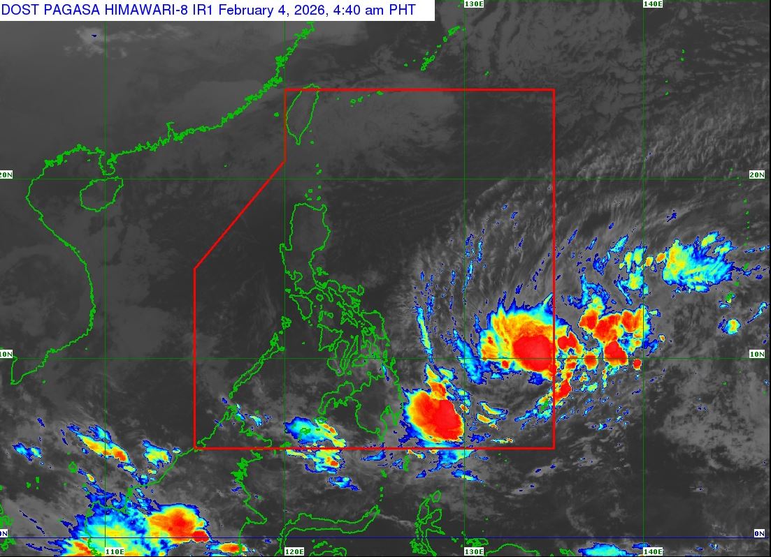
In its 5 a.m. cyclone bulletin, the weather bureau said the covered areas by the tropical cyclone wind signal are Cagwait, Marihatag, San Agustin, Barobo, Tagbina, Hinatuan, City of Bislig, Lingig, and Lianga.
"Winds of 39-61 kilometers per hour may be expected in at least 36 hours or intermittent rains may be expected within 36 hours," it added.
Basyang is forecast to gradually intensify while over the Philippine Sea and may reach tropical storm category within the day. After its initial landfall, it will weaken into a tropical depression and will be downgraded to low pressure area by Monday, February 9.
The center of Basyang was estimated at 895 km east of Northeastern Mindanao, moving west southwestward at 20 km/h, and with maximum sustained winds of 55 km/h near the center and gustiness of up to 70 km/h.
The highest wind signal that may be hoisted throughout the passage of Basyang is Wind Signal No. 2, PAGASA said.
Basyang will generally move west-southwestward until Thursday, then turn west-northwestward beginning Friday morning.
"On the forecast track, the center of Basyang will make its initial landfall over the eastern Mindanao between tomorrow evening and Friday morning. Afterwards, it will traverse the landmass of northeastern Mindanao and Central and Western Visayas and emerge over Sulu Sea by Saturday morning." PAGASA said.
It added that by Saturday afternoon, Basyang will cross the northern portion of Palawan, then re-emerge over the West Philippine Sea.
Meanwhile, classes have been suspended in the municipality of Amlan, Negros Oriental, on Wednesday, February 4, 2026, due to Basyang. —LDF/KG, GMA Integrated News
