

PAGASA: Tropical depression outside PAR now a storm
The tropical depression outside the Philippines Area of Responsibility (PAR) has developed into a tropical storm with the international name "Nuri," according to PAGASA.
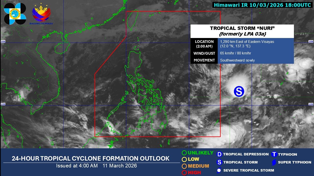
The state weather bureau said the Nuri became a tropical storm as of 2 a.m. on Wednesday, March 11.
The tropical storm is spotted 1,290 kilometers east of Eastern Visayas with maximum sustained winds of 65 km/h. It is moving southwestward slowly.
In its weather forecast, PAGASA said the Northeast Monsoon will affect Luzon and Visayas, while the trough of the tropical storm will have an impact on the eastern section of Mindanao.
Dinagat Islands, Surigao del Norte, Surigao del Sur, and Davao Oriental will experience cloudy skies with scattered rains and thunderstorms due to the trough of tropical storm.
Cloudy skies with light rains will prevail over Batanes, Cagayan, Isabela, and Aurora as a result of the Northeast Monsoon.
Metro Manila, the rest of Luzon, and Visayas will have partly cloudy to cloudy skies with isolated light rains also due to the Northeast Monsoon.
The rest of Mindanao will have partly cloudy to cloudy skies with isolated rainshowers or thunderstorms due to localized thunderstorms.
Sunrise is at 6:07 a.m. and sunset is at 6:06 p.m. —LDF, GMA Integrated News
