

Localized thunderstorms to bring rain across PH
Isolated rains are expected in parts of the country over the next 24 hours due to localized thunderstorms, PAGASA said Monday, as it continues to monitor Super Typhoon Sinlaku outside the Philippine Area of Responsibility (PAR).
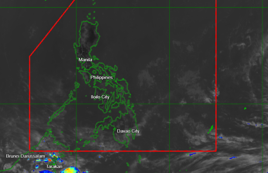
In its 4 p.m. weather forecast, the state weather bureau said partly cloudy to cloudy skies with isolated rain showers or thunderstorms will prevail over Metro Manila and the rest of the country.
PAGASA warned that severe thunderstorms may trigger flash floods or landslides.
As of 3 p.m., Sinlaku was located 2,430 kilometers east of the Visayas, within PAGASA’s Tropical Cyclone Information Domain (TCID).
The cyclone is packing maximum sustained winds of 215 km/h near the center and gusts of up to 265 km/h, and is moving northwestward at 15 km/h.
According to PAGASA, the TCID is the agency’s largest and outermost monitoring domain.
“Tropical cyclones present inside the TCID are of least concern for forecasters but are still monitored for public awareness,” the agency said.
PAGASA earlier told Super Radyo dzBB that Sinlaku is moving away from the country and has a slim chance of entering the PAR.
State meteorologists added that winds across the country will be light to moderate, while coastal waters will be slight to moderate.
Sunrise in Metro Manila on Tuesday will be at 5:43 a.m.—MCG, GMA News
