

LPA trough to bring cloudy skies, rains over Caraga, Davao
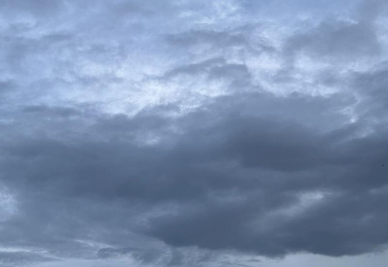
The trough of the Low Pressure Area (LPA), which is located at 940 kilometers east of Southern Mindanao, will bring cloudy skies with scattered rains over Caraga and Davao while the easterlies will be affecting Luzon and Visayas on Friday, PAGASA reported.
As of 2 a.m. the LPA 05d is being monitored inside the Philippine Area of Responsibility (PAR) and is unlikely to develop into a tropical depression within the next 24 hours.
Forecast Weather Conditions
Caraga and Davao Region will have cloudy skies with scattered rains and thunderstorms brought about by the Trough of the LPA. Flash floods or landslides may occur in these regions due to moderate to at times heavy rains.
Metro Manila, the rest of Luzon, and Visayas will have partly cloudy to cloudy skies with isolated rain showers or thunderstorms due to the easterlies with the possibility that flash floods or landslides will occur during severe thunderstorms.
The rest of Mindanao will have partly cloudy to cloudy skies with isolated rain showers or thunderstorms due to localized thunderstorms and flash floods or landslides may occur during severe thunderstorms.
Forecast Wind and Coastal Water Conditions
The wind speed forecast for Mindanao is light to moderate and moving in the northeast to north direction with slight to moderate coastal waters.
Central Luzon, Southern Luzon, and Visayas will have light to moderate wind speed moving in the east to northeast direction while coastal waters will be slight to moderate.
The rest of Luzon will experience light to moderate wind speed moving in the southeast to northeast direction with slight to moderate coastal waters.
Sunrise will be at 5:27 a.m., sunset at 6:19 p.m. — BAP, GMA News
