

Tropical Storm Mekkhala slightly intensifies, moves east of S. Luzon
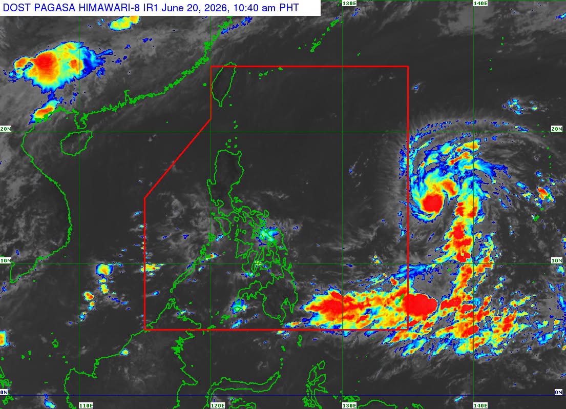
The Tropical Storm with international name Mekkhala slightly intensified while outside the Philippine Area of Responsibility (PAR) as it moves over the Philippine Sea east of Southeastern Luzon, PAGASA said Saturday.
In its advisory at 11 a.m., PAGASA said that as of 10 a.m., the center of the Tropical Storm was estimated based on all available data at 1,590 km East of Southeastern Luzon (OUTSIDE PAR) (13.7°N, 137.7°E).
It has maximum sustained winds of 85 km/h near the center, gustiness of up to 105 km/h, and central pressure of 996 hPa. It is moving westward at 20 km/h.
The Tropical Storm possesses strong to gale-force winds extending outwards up to 350 km from the center, PAGASA said.
"The tropical storm is forecast to move generally west northwestward and is expected to enter the Philippine Area of Responsibility (PAR) tonight or tomorrow (21 June) morning. Once inside the PAR, the tropical cyclone will be given the domestic name FRANCISCO. A landfall scenario is less likely at this time," it said.
PAGASA added that the tropical cyclone will continue to intensify and may reach typhoon category by Sunday.
The state weather bureau said that due to the tropical cyclone's possible close proximity to land on Tuesday (June 23) and Wednesday (June 24) and possible changes in the track forecast in succeeding bulletins, hoisting Wind Signal No. 1 over the northern and eastern portions of Northern Luzon is not ruled out.
"This tropical storm will begin affecting the weather conditions of Extreme Northern Luzon beginning on Tuesday. Furthermore, moderate to rough seas due to the tropical storm will be experienced over the northern and eastern coastal waters of Northern Luzon on Tuesday," PAGASA said. --VAL, GMA News
