

 GMA Brandtalk
 Tracking
 Archives

Tropical Storm Pilandok keeps strength moving northwestward
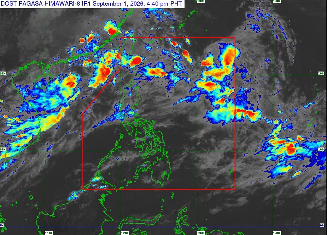
Tropical Storm Pilandok maintains its strength as it moves northwestward inside the Philippine Area of Responsibility (PAR), the state weather bureau PAGASA said Tuesday in its 5 p.m. bulletin.
As of 4 p.m., Pilandok was estimated at 1,015 kilometers east of extreme Northern Luzon.
It has maximum sustained winds of 65 kilometers per hour (km/h) near the center and gustiness of up to 80 km/h.
The state weather bureau said Pilandok is unlikely to make landfall over the country and will remain far from the Philippine landmass. It is expected to remain a tropical storm as it moves towards southern Japan.
“It must be emphasized that heavy rainfall and severe winds may still be experienced in localities outside the landfall point and the forecast confidence cone,” PAGASA said.
Tropical Storm Pilandok is forecast to exit PAR by early morning on Thursday, September 3.
PAGASA advised the public and concerned disaster risk reduction and management offices to take all necessary measures to protect life and property, especially in areas identified to be highly or very highly susceptible to hazards.—LDF, GMA News

