

 GMA Brandtalk
 Tracking
 Archives

Tropical Storm Pilandok exits PAR; Habagat rains to prevail over Luzon, Visayas
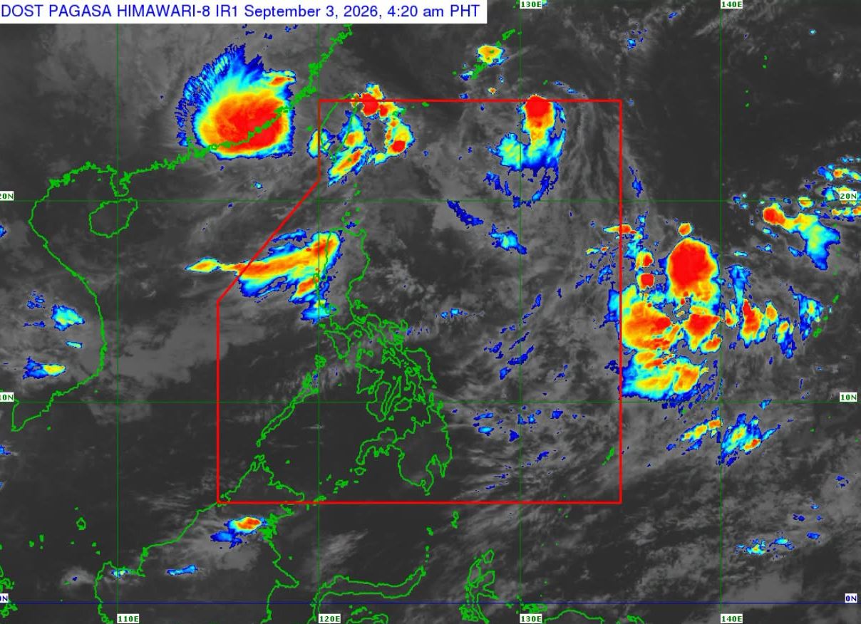
Tropical Storm Pilandok slightly accelerated northwestward as it exited the Philippine Area of Responsibility early Thursday, according to PAGASA.
Pilandok exited PAR at 4:30 a.m., said weather specialist Leanne Loreto in a weather briefing.
Outside PAR, the tropical cyclone will continue moving generally northwestward towards southern Japan.
Beginning Friday until Saturday, it will remain almost stationary, then move generally southward, looping over the area of Okinawa-Amami islands. By Monday, it will move generally southeastward before turning northeastward by Tuesday.
Meanwhile, Tropical Storm Saudel (formerly Obet) and another low pressure area (LPA) are being monitored outside the PAR. The LPA is unlikely to develop into a tropical depression within the next 24 hours.
For Thursday's weather, the Southwest Monsoon or Habagat will continue to affect Luzon and Visayas, bringing rains in some parts of the regions.
Ilocos Region, Abra, Benguet, Zambales, Bataan, and Occidental Mindoro will have occasional rains due to the Southwest Monsoon.
The same weather system will bring cloudy slies with scattered rains and thunderstorms over Metro Manila, Cagayan Valley, the rest of Cordillera Administrative Region, the rest of Central Luzon, Cavite, Batangas, Rizal, Laguna, and Oriental Mindoro.
Visayas and the rest of Luzon will experience partly cloudy to cloudy skies with isolated rain showers or thunderstorms due to Habagat.
Mindanao will have partly cloudy to cloudy skies with isolated rain showers or thunderstorm as a result of localized thunderstorms.
Sunrise in Metro Manila is at 5:44 a.m. and sunset is at 6:07 p.m. —LDF, GMA News

