
Marilyn maintains strength, to bring rains to areas in western PHL
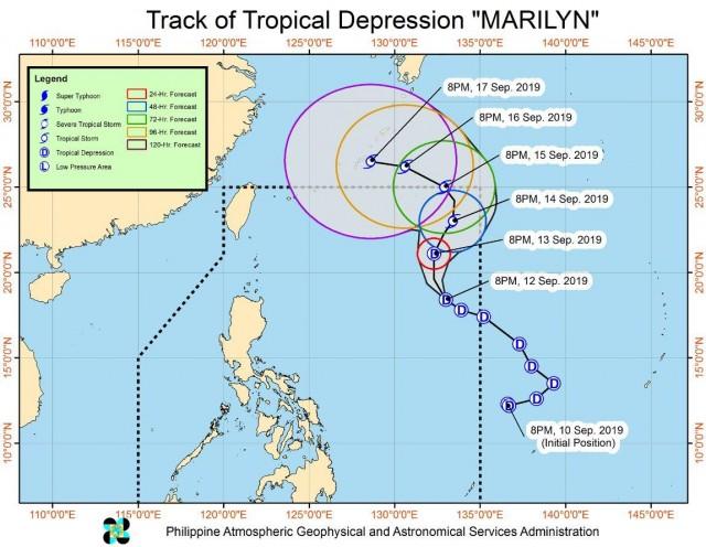
Tropical Depression Marilyn maintains its strength as it moves northwestward, PAGASA reported in Severe Weather Bulletin issued late Thursday evening.
On Thursday evening until Friday evening, the combined effects of Marilyn and southwest monsoon will bring moderate to intermittent heavy rains over Aurora, Palawan, Western Visayas, and Zamboanga Peninsula.
Light to moderate rains and intermittent heavy rain showers (during thunderstorms) may prevail over Metro Manila, Bangsamoro, Northern Mindanao, SOCCSKSARGEN, and the rest of Luzon and Visayas.
Residents of the affected areas, especially those living in areas identified to be highly or very highly susceptible to floods and rain-induced landslides, are advised to take precautionary measures, coordinate with local disaster risk reduction and management offices, and continue monitoring for updates.
Sea travel is risky, especially for small seacraft, over the central and eastern seaboards of Visayas and the seaboards of Mindanao due to potentially rough sea condition.
The weather bureau said Marilyn is less likely to make landfall in the country throughout the forecast period.
As of 10 p.m., the center of Tropical Depression Marilyn was estimated based on all available data at 1,175 kilometers sast northeast of Casiguran, Aurora or 1,165 kilometers east of Basco, Batanes packing maximum winds of up to 55 kilometers per hour near the center and gustiness of up to 70 kph moving in the northwest direction at 20 kph. — BAP, GMA News
