

LPA off Tarlac seen to merge with Nimfa in 48 hours
The Low Pressure Area (LPA) spotted off Tarlac is expected to merge with Tropical Depression Nimfa's trough within the next 48 hours and may enhance the Southwest Monsoon.
At a press briefing Wednesday morning, PAGASA weather specialist Loriedin de la Cruz said the LPA was located in the vicinity of Mayantoc, Tarlac as of 10 a.m.
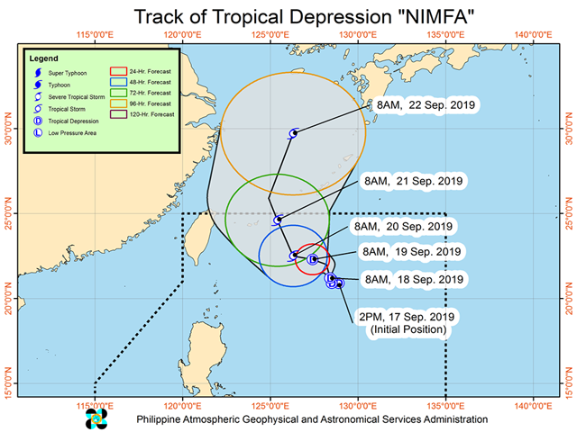
Based on PAGASA in an 11 a.m. severe weather bulletin on Wednesday, Nimfa remained almost stationary in northern Philippine Sea, bringing light to heavy rains over some parts of the country.
With its maximum sustained winds of 55 kilometer per hour (kph) and gustiness of up to 70 kph, Nimfa will bring frequent light to moderate with occasional heavy rains on Wednesday and Thursday in the following areas:
- Pangasinan
- Zambales
- Bataan
- Occidental Mindoro
- Romblon
- northern portions of Palawan including Calamian and Cuyo Islands
- Aklan
- Antique
- Iloilo
- Guimaras
Meanwhile, the following areas will experience occasional light to moderate rains with intermittent heavy rain showers during thunderstorms:
- Metro Manila
- CALABARZON
- Batanes
- Cagayan including Babuyan Islands,
- Ilocos Norte
- Apayao
- and the rest of Central Luzon and MIMAROPA.
Scattered rains and isolated thunderstorms will be experienced over the rest of Luzon and Western Visayas, PAGASA also said.
Residents in the affected areas, especially in flood and landslide prone locations, were advised o take precautionary measures and coordinate with local disaster risk reduction authorities.
PAGASA also warned that sea travel is risky especially for small seacraft over the northern and eastern seaboards of Northern Luzon due to potentially rough to very rough sea conditions.
As of 10 a.m., Nimfa was located 685 kilometers east of Basco, Batanes. —Joviland Rita/KBK, GMA News
