

TD Ofel to bring moderate to intense rains; 13 areas remain under Signal No. 1 -PAGASA
Tropical Depression "Ofel" is expected to bring moderate to heavy with, at times, intense rains in Luzon and Visayas as it maintains its strength while moving west-northwestward towards Burias Island, state weather bureau PAGASA said Wednesday.
In its 11 a.m bulletin, PAGASA said Ofel will bring moderate to heavy with, at times, intense rains over the Bicol Region, CALABARZON, Aurora, Marinduque, Romblon, and Mindoro Provinces.
Light to moderate with, at times, heavy rains are also experienced over Metro Manila, Cagayan Valley, Cordillera Administrative Region, rest of Central Luzon.
The following areas remain under Tropical Cyclone Signal No. 1:
- Batangas
- the southern portion of Laguna (Luisiana, Majayjay, Liliw, Nagcarlan, Rizal, San Pablo City, Calauan, Alaminos, Los Baños, Bay, Magdalena)
- the central and southern portions of Quezon (Guinayangan, Tagkawayan, Buenavista, San Narciso, San Andres, Mulanay, San Francisco, Catanauan, Lopez, Calauag, Quezon, Alabat, Perez, Atimonan, Tayabas City, Mauban, Sampaloc, Lucban, Gumaca, General Luna, Macalelon, Pitogo, Unisan, Plaridel, Padre Burgos, Agdangan, Pagbilao, Lucena City, Sariaya, Candelaria, Dolores, Tiaong, San Antonio)
- Calamian Islands,
- Occidental Mindoro,
- Oriental Mindoro,
- Marinduque,
- Romblon,
- Camarines Norte,
- Camarines Sur,
- Catanduanes,
- Albay,
- Sorsogon,and
- Masbate (including Ticao and Burias Islands).
Meanwhile in Mindanao, the southwest monsoon will bring moderate to heavy rains over Caraga, Davao Region, and Sarangani, and light to moderate with, at times, heavy rains may prevail over the rest of the region.
Flooding, including flashfloods, and rain-induced landslides may occur during heavy or prolonged rainfall especially in areas that are highly or very highly susceptible to these hazards.
PAGASA said occasional gusts associated with the northeasterly surface wind flow enhanced by Ofel and Tropical Storm Nangka (outside PAR) may be experienced over Batanes, the northern and eastern portions of Cagayan (including Babuyan Islands), the northern portions of Apayao, Ilocos Norte, and Quezon, the eastern portion of Isabela, and Aurora, especially in coastal and mountainous areas.
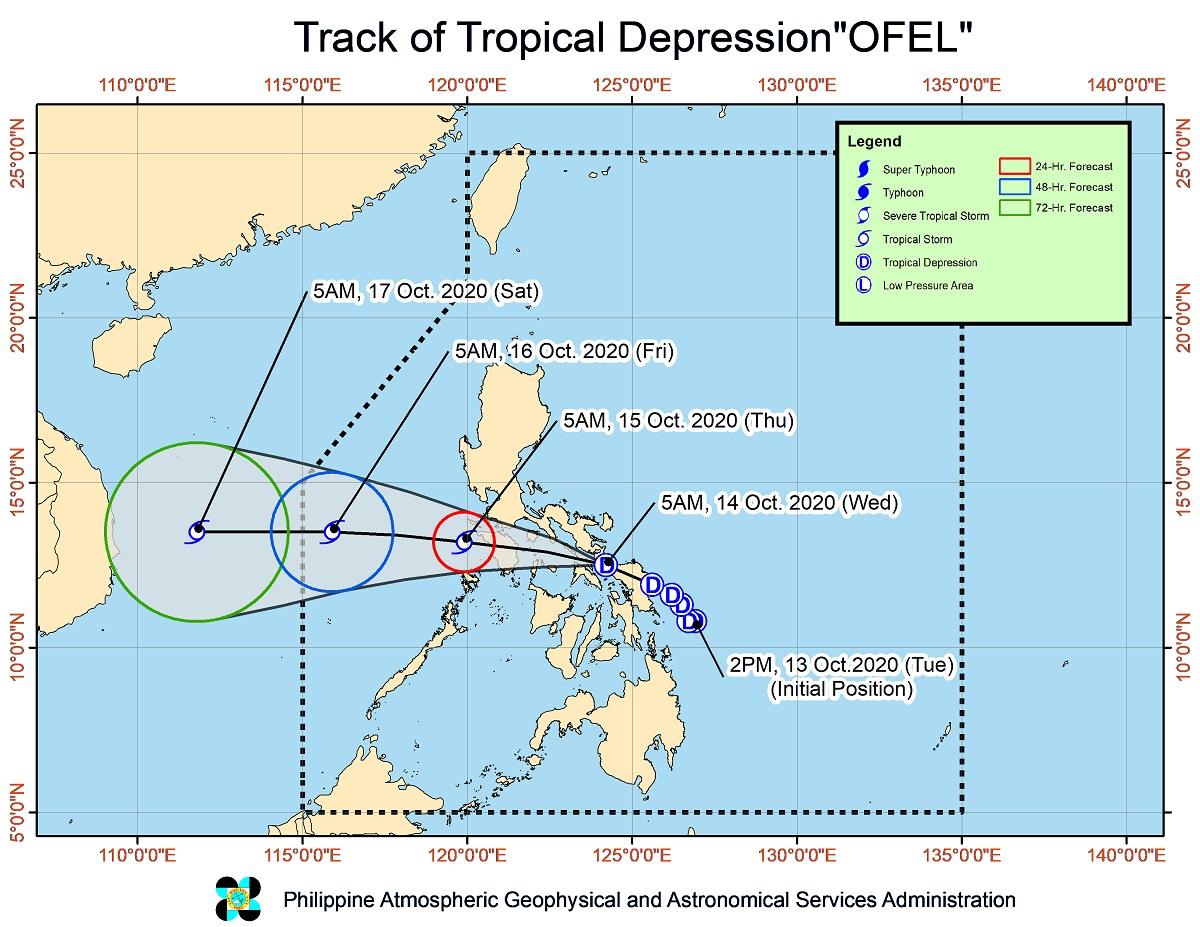
Ofel earlier made its landfall at Can-avid, Eastern Samar at 2:30 a.m. on Wednesday, then at 6 a.m. in Matnog, Sorsogon.
As of 10 a.m., Ofel's center was estimated at 50 km west of Juban, Sorsogon. It is moving west northwestward at 10 kph, with maximum sustained winds of 45 kph near the center and gustiness of up to 55 kph.
It is seen to move west-northwestward over the inland seas of Southern Luzon and may pass close or over Romblon and Mindoro provinces.
It is likely to emerge over the West Philippine Sea Thursday morning and exit the Philippine area of responsibility (PAR) on Friday morning or afternoon.
Ofel is forecast to remain a tropical depression while crossing the Southern Luzon area but will intensify into a tropical storm after emerging over the West Philippine Sea.—AOL, GMA News
