

Tail-end of cold front to bring rains, thunderstorms over 4 areas
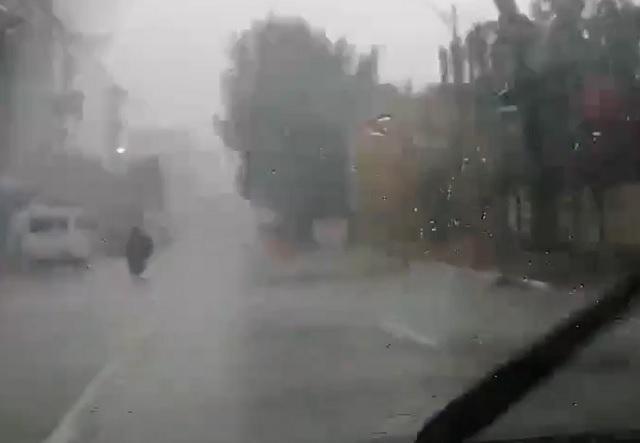
The tail-end of a cold front is expected to bring cloudy skies with scattered rainshowers and thunderstorms over Batanes, Cagayan, Apayao, and Ilocos Norte, according to PAGASA on Friday.
In its 24-hour forecast, the state weather agency warned affected residents of possible flash floods or landslides during moderate to, at times, heavy rains.
Meanwhile, the trough of typhoon Saudel (local name: Pepito) may also bring cloudy skies with scattered rainshowers and thunderstorms over Western Visayas, Zamboanga Peninsula, Palawan, Basilan, Sulu, and Tawi-Tawi.
PAGASA said flash floods and landslides are possible.
At 3 p.m. on Friday, Saudel was estimated at 605 kilometers west of Northern Luzon with maximum sustained winds of 140 kilometers per hour near the center and gustiness of up to 170 kph.
Partly cloudy to cloudy skies with isolated rainshowers may, meanwhile, prevail over Metro Manila and the rest of the country due to localized thunderstorms.
Severe thunderstorms may cause flooding and landslides, according to PAGASA.
Earlier, the low pressure area being monitored east of Mindanao developed into a tropical depression and was named Quinta.
The center of Quinta was estimated at 900 kilometers east of Surigao City, Surigao del Norte at 3 p.m. with maximum sustained winds of 45 kph near the center and gustiness of up to 55 kph. It is moving westward slowly.
PAGASA is set to issue a severe weather bulletin on Quinta at 5 p.m.
Meanwhile, the weather agency has also declared the end of the southwest monsoon or "Habagat" season, as the country transitions into the northeast monsoon or Amihan season.—AOL, GMA News
