

Tonyo slightly intensifies ahead of exit from PAR
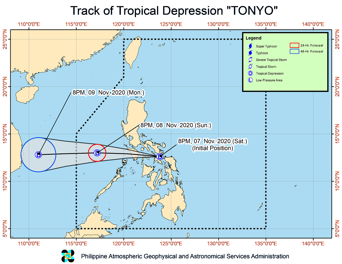
Tropical Depression Tonyo slightly intensified ahead of its expected exit from the Philippine Area of Responsibility on Monday morning, PAGASA said late Sunday night.
In its 11 p.m. bulletin, the state weather bureau said Tonyo will likely intensify into a tropical storm within the next 24 hours.
The center of the cyclone was last seen 395 kilometers west of Calapan City, Oriental Mindoro carrying maximum sustained winds of 55 kilometers per hour (kph) near the center and gustiness of up to 70 kph.
Tonyo continues to move westward at 30 kph and will be 965 kilometers west of Southern Luzon by Monday evening.
Hazards
Tonyo is expected to bring moderate to heavy rains over the Kalayaan Islands.
The tail-end of a cold front associated with the Northeast Monsoon and Tonyo are also seen to cause moderate to heavy rains over mainland Cagayan Valley, Cordillera Administrative Region, and Aurora.
Light to moderate with at times heavy rains will also prevail over the Ilocos Region, the rest of Central Luzon, Batanes, and Babuyan Islands.
Occasional gusty conditions must also be expected over the Kalayaan Islands while the Northeast Monsoon, enhanced by Tonyo, will bring strong to gale-force winds over Batanes, Babuyan Islands, Ilocos Norte, Apayao, and the northern portion of mainland Cagayan.
Meanwhile, PAGASA said sea travel is risky over the seaboards of the Kalayaan Islands, Batanes, Babuyan Islands, Ilocos Norte, Ilocos Sur, La Union, Pangasinan, and Zambales and the northern seaboards of mainland Cagayan due to rough to very rough sea conditions.
Moderate to rough seas will also prevail over the western seaboards of Bataan, Batangas, Occidental Mindoro including Lubang Island, and Palawan including Calamian Islands. — Julia Mari Ornedo/BM, GMA News
