

Bising weakens further as it heads for Sunday PAR exit
Tropical Storm Bising weakened further as it continued to head for a Philippine Area of Responsibility exit through its northeastern limit, PAGASA said Saturday.
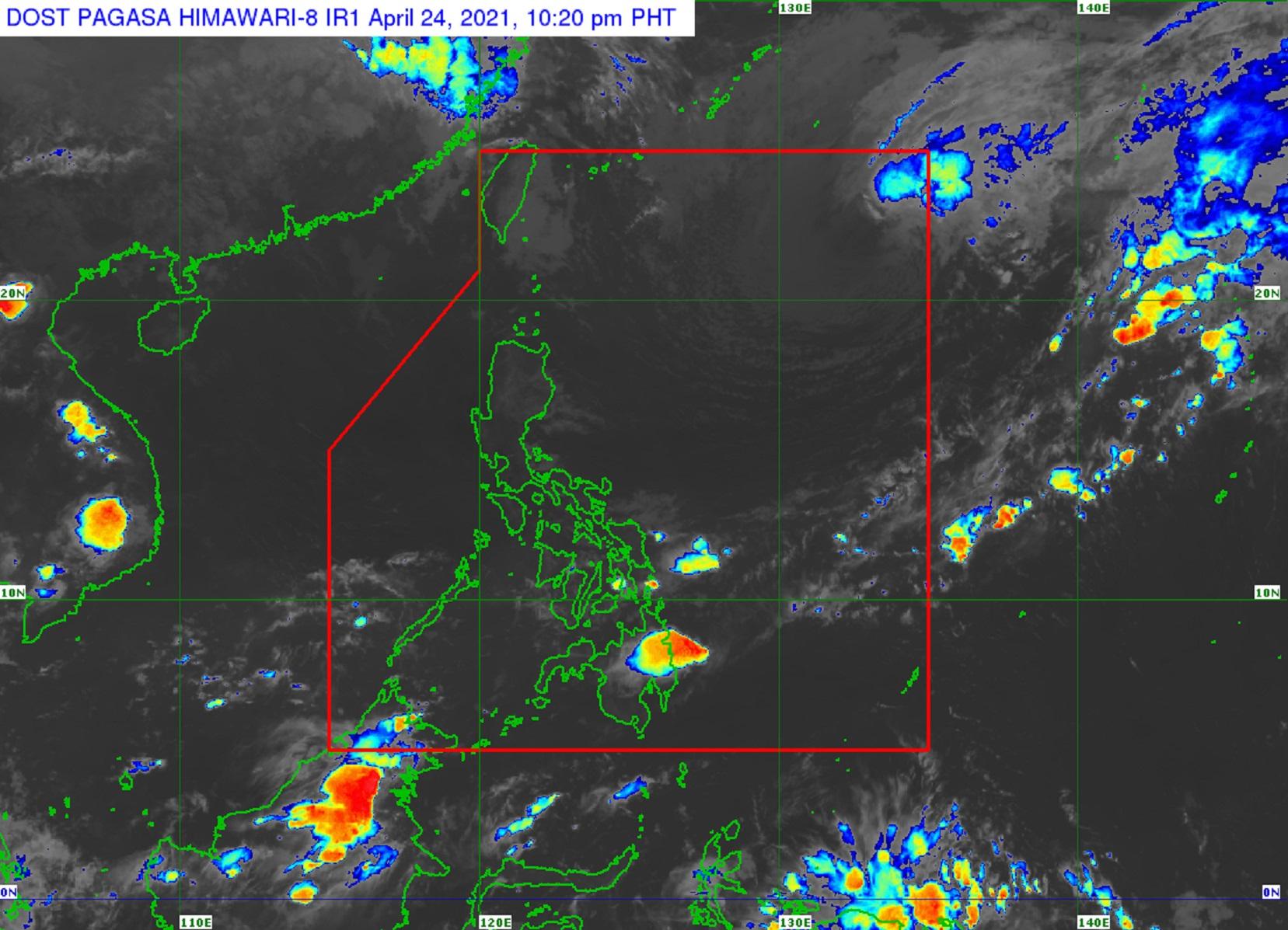
In its 11 p.m. severe weather bulletin, the weather agency predicted that Bising would exit the PAR on Sunday morning, and transition into a gale-force extratropical cyclone outside PAR between Sunday evening and Monday.
At 10 p.m. on Saturday, the center of Bising was 1,175 kilometers east of extreme northern Luzon with maximum sustained winds of 75 kilometers per hour near the center and gustiness of up to 90 kph.
It was moving east-southeastward at 20 kph.
Moderate to rough seas would be experienced over the northern and eastern seaboards of Northern Luzon and the eastern seaboards of Central and Southern Luzon due to Bising in the next 24 hours.
PAGASA cautioned mariners with small seacraft against sailing over these areas.
The next severe weather bulletin will be issued at 11 a.m. — DVM, GMA News
