
Typhoon Kiko enters PAR, to bring heavy rains over extreme northern Luzon by Friday
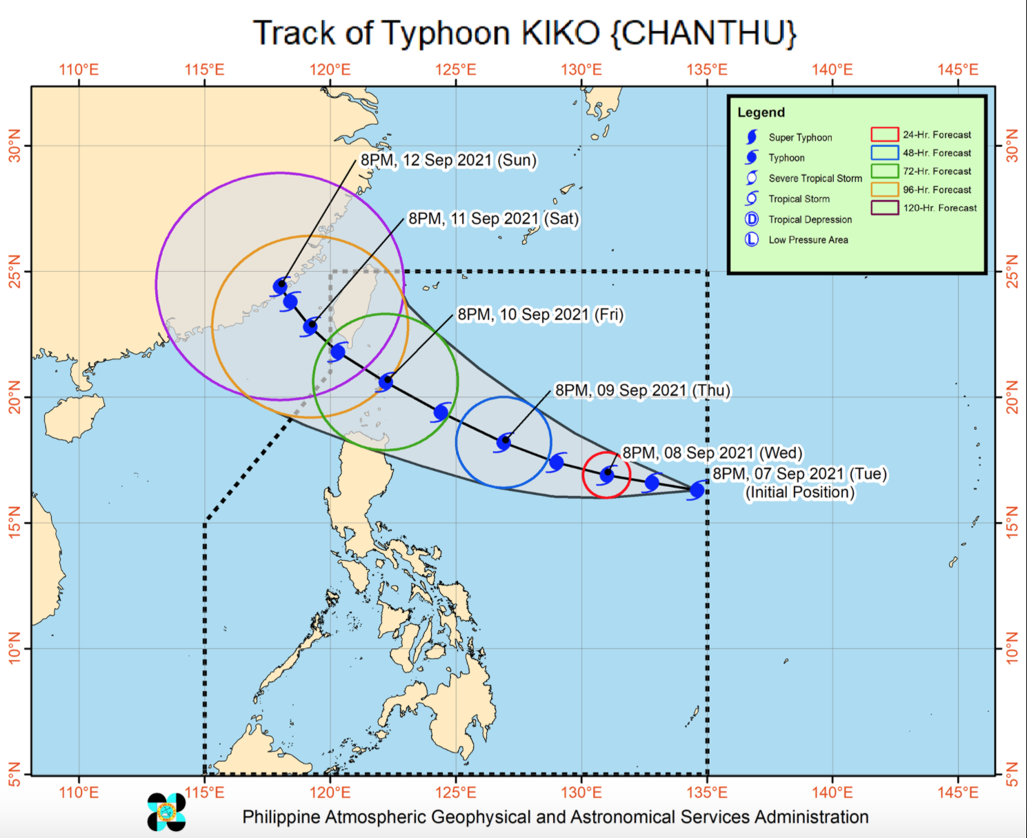
Typhoon Kiko entered the Philippine Area of Responsibility (PAR) and will be affecting the extreme northern Luzon, state weather bureau PAGASA said late Tuesday evening.
In its 11 p.m. Tropical Cyclone bulletin, PAGASA said the typhoon was last spotted at 1,300 kilometers east of Central Luzon, moving west northwestward at 20 kilometers per hour.
Kiko has sustained winds of up to 20 kilometers per hour near its center and gustiness of up to 150 kph.
The typhoon will cause heavy rains over Extreme Northern Luzon starting Friday.
While it has yet to raise Tropical Cyclone Wind Signals, PAGASA warned that Kiko will likely intensify until Friday.
"Due to favorable environmental conditions, the typhoon is expected to continuously intensify until Friday, when it is likely to reach its peak intensity of 165 to 185 km/h while moving over Extreme Northern Luzon," it said. -- BAP, GMA News
