
Maring keeps strength, interacts with Nando
Tropical Storm Maring maintains its strength as it interacts with Tropical Depression Nando, state weather bureau PAGASA said.
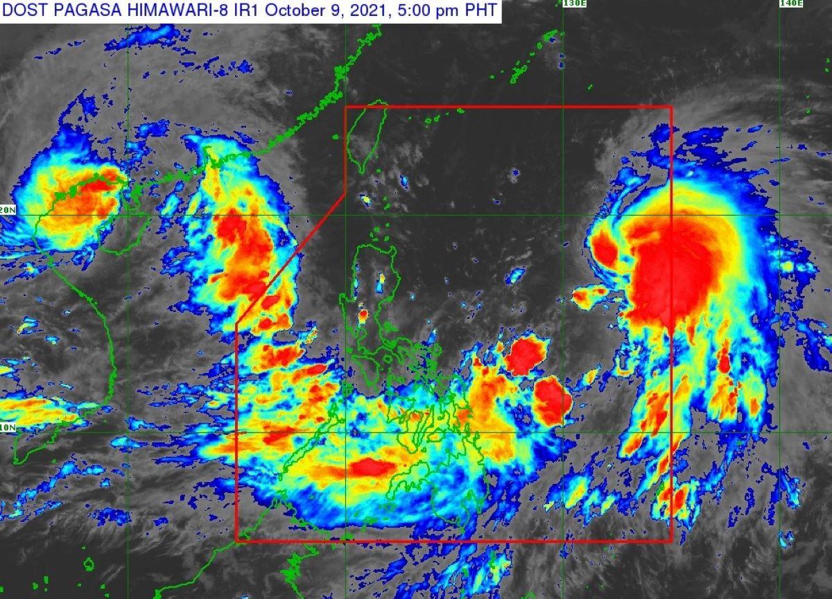
Maring's eye was estimated at 745 kilometers east of Catarman, Northern Samar or 840 km east of Southern Luzon.
In its 5 p.m. weather bulletin, PAGASA said that Maring packed maximum sustained winds of 85 km/h near the center, gustiness of up to 105 km/h, and a central pressure of 992 hPa.
It is moving on its eastward track at 20 km/h.
PAGASA said that from Saturday through Sunday morning, moderate to heavy rains are possible over Western Visayas, Occidental Mindoro, and Palawan including Kalayaan, Calamian, and Cuyo Islands.
Light to moderate with at times heavy rains are also possible over Bicol Region, Caraga, Oriental Mindoro, and the rest of Visayas.
Under these conditions, isolated to scattered flooding (including flash floods) and rain-induced landslides are possible especially in areas that are highly or very highly susceptible to these hazard as identified in hazard maps.
But due to the expansive wind field of the tropical storm and the Southwesterly winds, occasional gusts reaching strong breeze to near gale in strength may still be experienced over Eastern and Western Visayas, Caraga, Catanduanes, Albay, and Sorsogon even in the absence of a wind signal.
Like wise, PAGASA said that there is moderate to high likelihood that Tropical Cyclone Warning Signal (TCWS) No. 1 will be hoisted for some localities in Northern Luzon beginning Saturday night or Sunday morning in anticipation of the arrival of strong breeze to near gale conditions with higher gusts.
The highest possible wind signal for this tropical cyclone remains at TCWS No. 2.
Earlier, PAGASA said that due to the expansive wind field of Maring, the uncertainty in its interaction and possible merging with TD Nando, and the track and intensity forecast post-merger, there is a possibility that areas outside Northern Luzon may also be placed under TCWS and that a higher wind signal may still be hoisted within the forecast period. —LBG, GMA News
