
Typhoon Nyatoh no longer expected to enter PAR – PAGASA
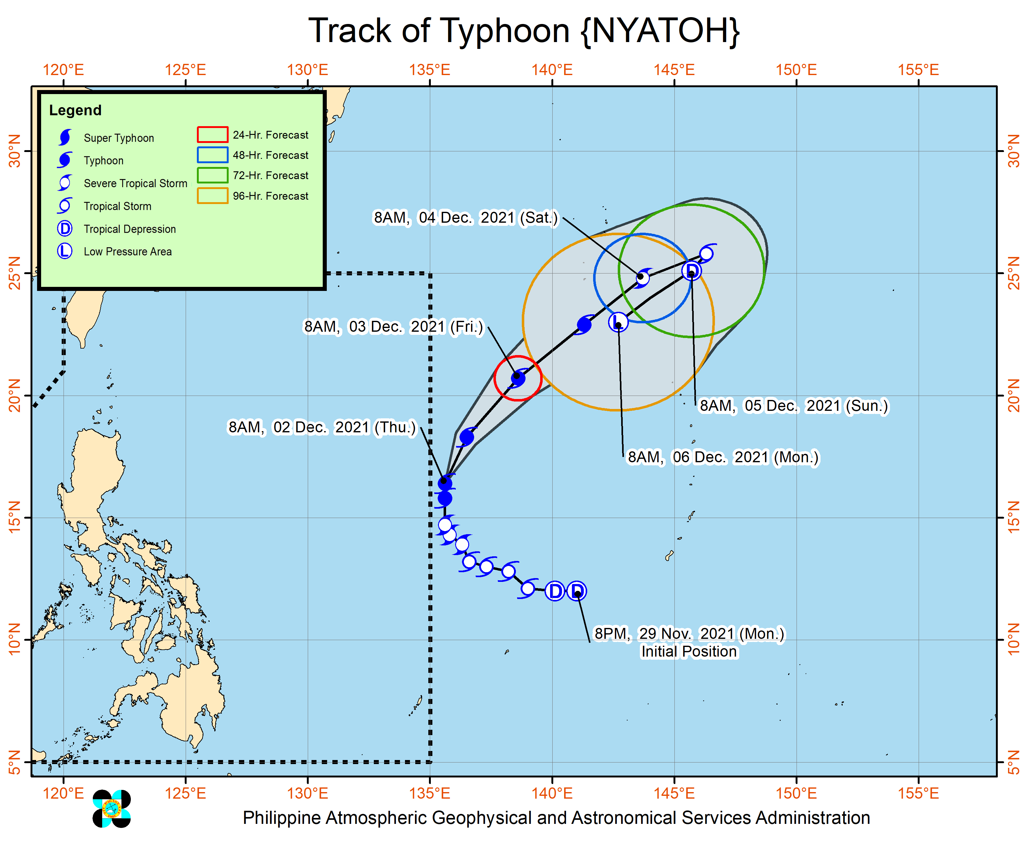
Typhoon Nyatoh is no longer expected to enter the Philippine Area of Responsibility (PAR), state weather bureau PAGASA said on Thursday.
As of 3 p.m., the typhoon was spotted 1,495 kilometers east of Northern Luzon with maximum sustained winds of 140 kilometers per hour (kph) and gustiness of up to 170 kph while moving northward at 15 kph.
“Nyatoh is no longer expected to enter the Philippine Area of Responsibility. The typhoon is forecast to move generally northeastward beginning tonight until Saturday,” PAGASA said in its 11 a.m. advisory.
“Despite its distance from the Philippine landmass, the trough of this typhoon will bring increased likelihood of scattered light to moderate with at times heavy rains and thunderstorms over Bicol Region, Visayas, and Mindanao in the next 24 hours.”
Cagayan Valley, the Cordillera Administrative Region, and Aurora will have light rains brought by the northeast monsoon, PAGASA said in its 24-hour forecast.
Mindanao, MIMAROPA, and the rest of Visayas will experience partly cloudy to cloudy skies with isolated rain showers or thunderstorms with possible flash floods or landslides during severe thunderstorms.
Metro Manila and the rest of Luzon will have partly cloudy to cloudy skies with isolated light rains.
The wind speed forecast for Luzon and Visayas is moderate to strong while coastal waters will be moderate to rough.
Mindanao will experience light to moderate wind speed while coastal waters will be slight to moderate.
The sun will rise at 6:06 a.m. on Friday. — VBL, GMA News
