

3 areas in Luzon under Signal No.1 due to Maymay
Three areas in Luzon are under Tropical Cyclone Wind Signal No. 1 as Tropical Depression Maymay maintained its strength while continuously moving westward over the Philippine waters.
In its 5 p.m. bulletin on Wednesday, weather bureau PAGASA said winds of 39 to 61 kilometers per hour or intermittent rains may be expected in at least 36 hours over the following areas due to the storm signal:
- eastern portion of Isabela (San Mariano, Dinapigue, San Guillermo, San Pablo, Ilagan City, Benito Soliven, San Agustin, Palanan, Divilacan, Jones, Maconacon, Tumauini, Echague, Cabagan)
- eastern portion of Quirino (Maddela, Nagtipunan, Aglipay, Saguday)
- northern portion of Aurora (Casiguran, Dinalungan, Dilasag, Dipaculao)
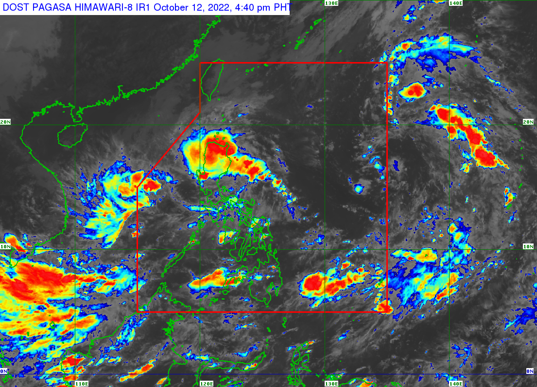
The center of the eye of Maymay was last seen 245 km east of Casiguran, Aurora as of 4 p.m. It is moving westward at 10 km/h and has maximum sustained winds of 45 km/h near the center and gustiness of up to 55 km/h.
Strong winds may prevail within any of the areas where the storm signal was in effect, said PAGASA.
A marine gale warning also remains in effect over the seaboards of Northern Luzon, Central, and the eastern seaboard of Southern Luzon due to the influence of the tropical cyclone and the surge of northeasterly surface wind flow, it added.
The weather bureau warned these conditions may be risky for those using small seacraft, adding that mariners should take precautionary measures when venturing out to sea and, if possible, avoid navigating to ensure their safety.
Maymay is forecast to continue moving generally westward towards the eastern coast of Isabela or Aurora. It is expected to deteriorate into a remnant low within the next 12 hours. — Sundy Locus/BM, GMA News
