
LPA, northeast monsoon, shear line to bring rains over Luzon
At 3 a.m. on Tuesday, a Low Pressure Area (LPA) was estimated at 290 kilometers east of Maasin City, Southern Leyte. Meanwhile, another LPA was estimated at 125 kilometers west northwest of Puerto Princesa City, Palawan while the northeast monsoon will continue to affect Luzon, PAGASA reported.
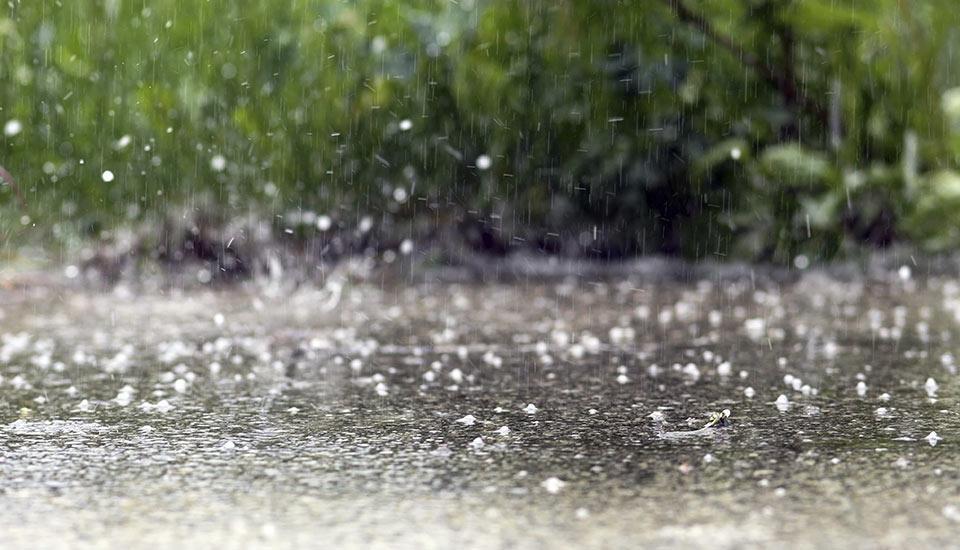
The Bicol Region and Quezon will have cloudy skies with scattered rain showers and thunderstorms brought about by the LPA and shear line with possible flooding or landslides due to moderate to heavy rains.
Batanes, Cagayan, and Apayao will have cloudy skies with rains due to the northeast monsoon with possible flooding or landslides due to moderate to heavy rains.
Metro Manila and the rest of Luzon will have partly cloudy to cloudy skies with light rains due to the northeast monsoon with no significant impact.
The rest of the country will have partly cloudy to cloudy skies with isolated rain showers or thunderstorms due to the LPA and localized thunderstorms with possible flash floods or landslides during severe thunderstorms.
The wind speed forecast for northern Luzon and eastern sections of Central and Southern Luzon is strong moving northeastward with rough coastal waters.
The rest of Luzon and Visayas will experience moderate to strong wind speed moving in the northeast to northwest direction while coastal waters will be moderate to rough.
For Mindanao, wind speed forecast is slight to moderate moving in the northwest to southwest direction while coastal waters will be light to moderate.
Sunrise will be at 6:25 a.m., sunset at 5:47 p.m. -- BAP, GMA Integrated News
