
Amang moves west northwestward along Camarines Norte coastline
Eight areas remained under Tropical Cyclone Wind Signal (TCWS) No. 1 as Tropical Depression Amang moved in the west northwest direction along the coast of Camarines Norte, according to the latest Tropical Cyclone Bulletin posted by PAGASA.
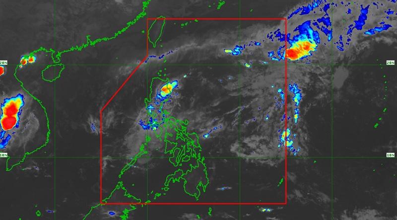
The center of the eye of Amang was estimated in the vicinity of Vinzons, Camarines Norte packing maximum sustained winds of 45 kilometers per hour near the center, gustiness of up to 55 km/h, and moving west northwestward at the speed of 10 km/h.
TCWS No. 1 is raised over the following areas:
Luzon
- Camarines Norte
- northwestern portion of Camarines Sur (Sipocot, Cabusao, Bombon, Calabanga, Tinambac, Siruma, Lupi, Ragay, Del Gallego)
- eastern portion of Laguna (Cavinti, Kalayaan, Paete, Pangil, Siniloan, Famy, Santa Maria, Lumban, Pakil, Mabitac)
- northern and eastern portions of Quezon (Calauag, Infanta, Lopez, Plaridel, Quezon, Alabat, Sampaloc, Mauban, General Nakar, Perez, Gumaca, Atimonan, Real, Tagkawayan, Guinayangan) including Polillo Islands
- eastern portion of Rizal (Tanay, Rodriguez)
- eastern portion of Bulacan (Norzagaray, Doña Remedios Trinidad)
- eastern portion of Nueva Ecija (Gabaldon, General Tinio)
- central and southern portions of Aurora (Dingalan, Baler, Maria Aurora, San Luis, Dipaculao)
Hazards affecting land areas
Areas under Signal No. 1 may experience strong winds associated with the tropical depression that may result in minimal to minor impacts to life and property, PAGASA said.
Based on PAGASA's forecast, accumulated rainfall for the next 24 hours will reach up to 25 mm in most areas of Central Luzon, Metro Manila, and CALABARZON, and 50 mm in a few locations (mostly in Central Luzon and northern Quezon) caused by scattered rainshowers and thunderstorms
Hazards affecting coastal waters
"In the next 24 hours, moderate to rough seas (1.2 to 3.0 m) may be experienced over the western seaboards of Northern Luzon, and the northern and eastern seaboards of Luzon," PAGASA reported.
"Mariners of small seacrafts are advised to take precautionary measures when venturing out to sea and, if possible, avoid navigating in these conditions," the agency added.
Track and Intensity Outlook
The tropical depression is forecast to weaken into a low pressure area today as it moves over Camarines Norte towards Lamon Bay, Polillo Islands, and the northern portion of mainland Quezon. -- BAP, GMA Integrated News
