
Chedeng intensifies into a typhoon
Chedeng has further strengthened into a typhoon as it continues to move north-northwestward over Philippine waters, PAGASA said Thursday.
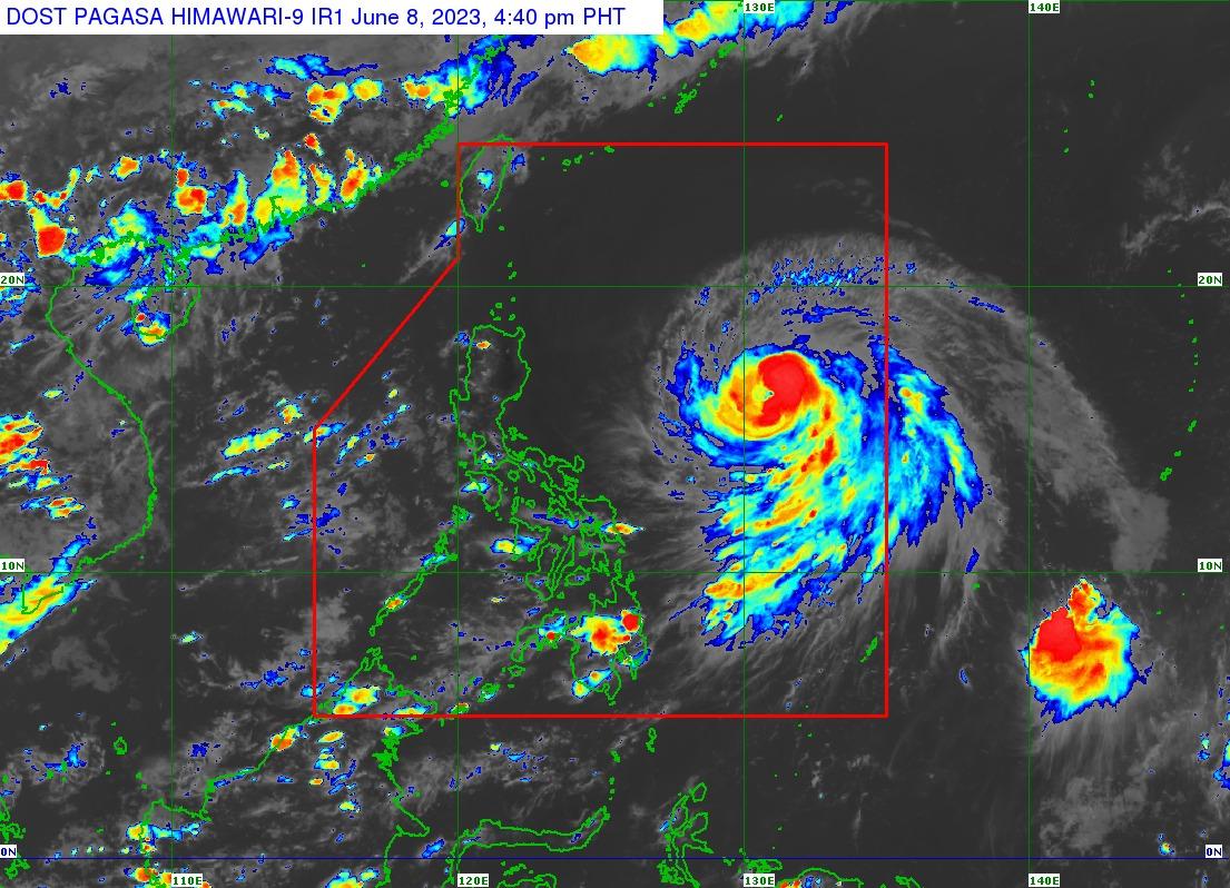
The center of the eye of the typhoon was last spotted 935 kilometers east of Central Luzon as of 4 p.m. It is currently heading northwest at 15 kilometers per hour (km/h) and has maximum sustained winds of 120 km/h near the center and gustiness of up to 150 km/h.
According to the weather bureau, the tropical cyclone is not seen to directly bring heavy rainfall over any part of the country in the next three to five days nor cause rough sea conditions in the next 24 hours.
However, it is expected to intensify in the next two to three days and may reach peak intensity by Saturday.
“Although the current forecast scenario for this tropical cyclone may result in the enhancement of the Southwest Monsoon, the timing and intensity of monsoon rains over the country may still change due to the dependence of monsoon enhancement on the forecast movement and intensity of Chedeng as well as its interaction with the other weather systems surrounding it,” PAGASA said.
The enhanced Southwest Monsoon may also bring gusty conditions over the following areas in the next three days: Visayas, Romblon, Occidental Mindoro, the northern portion of Palawan including Kalayaan, Calamian, and Cuyo Islands, Surigao del Norte, Dinagat Islands, and Camiguin.
On the forecast track, Chedeng will remain far from the Philippine landmass throughout the forecast period.
It is expected to move generally west-northwest to northwest until Friday afternoon before turning more northward the rest of Friday through Saturday afternoon.
The typhoon is seen to decelerate until Saturday before accelerating on Sunday generally north-northeastward or northeastward.
Chedeng is expected to exit the Philippine Area of Responsibility by Monday. — Sundy Locus/BM, GMA Integrated News
