

Habagat to bring cloudy skies, rain over Northern, Central Luzon
The southwest monsoon or habagat will cloudy skies with scattered rains and thunderstorms over Northern and Central Luzon on Wednesday, PAGASA reported.
The weather bureau is also monitoring a tropical cyclone, which is outside the Philippine Area of Responsibility (PAR).
As of 3 a.m., the Severe Tropical Sorm Ampil is located 1,895 kilometers east northeast of extreme Northern Luzon packing maximum sustained winds of 110 kilometers per hour near the center, gustiness of up to 135 kph, and moving slowly northeastward.
Ilocos Region, Batanes, and Babuyan Islands will have cloudy skies with scattered rains and thunderstorms due to the southwest monsoon with the possibility that flash floods or landslides will occur due to moderate to at times heavy rains.
Cordillera Administrative Region, Central Luzon, and the rest of Cagayan Valley will have partly cloudy to cloudy skies with isolated rain showers or thunderstorms due to the southwest monsoon with possible flash floods or landslides occurring during severe thunderstorms.
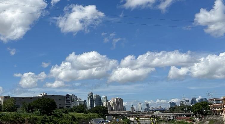
Metro Manila and the rest of the country will have partly cloudy to cloudy skies with isolated rain showers or thunderstorms due to localized thunderstorms with flash floods or landslides possibly occurring during severe thunderstorms.
The wind speed forecast for Northern and Central Luzon is light to moderate moving southwestward while coastal waters will be slight to moderate.
The rest of the country will have light to moderate wind speed moving in the south to southwest direction while coastal waters will be slight to moderate.
Sunrise will be at 5:42 AM, sunset at 6:19 p.m. — BAP, GMA Integrated News
