

LPA inside PAR may become storm — PAGASA
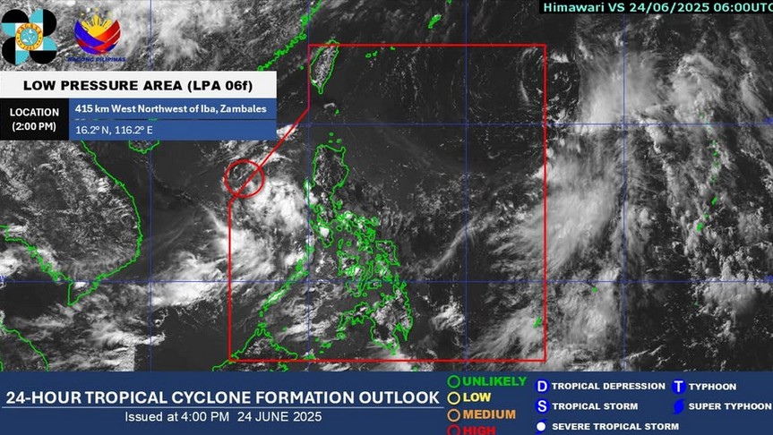
The low pressure area (LPA) inside the Philippine Area of Responsibility (PAR) has a “high” chance of developing into a tropical depression within the next 24 hours, PAGASA said Tuesday afternoon.
At 3 p.m., the LPA was located 445 kilometers west of Dagupan City, Pangasinan, according to the state weather bureau.
The LPA will be named "Bising" should it become a tropical depression.
For now, the Southwest Monsoon (Habagat) will continue to affect the weather conditions in the western section of Southern Luzon.
These areas are Bataan, Zambales, Palawan, and Occidental Mindoro.
These moderate to at times heavy rains may cause flash floods or landslides.
Meanwhile, the rest of the country will see partly cloudy to cloudy skies with isolated rain showers or thunderstorms due to the localized thunderstorms.
These severe thunderstorms may trigger flash floods or landslides.
State meteorologists also said winds will be light to moderate, while coastal waters will be slight to moderate throughout the country.
Sunrise in Metro Manila will be at 5:29 a.m. on Wednesday. —Mariel Celine Serquiña/RF, GMA Integrated News
