

LPA in PAR has low chance of becoming a cyclone in 24 hours
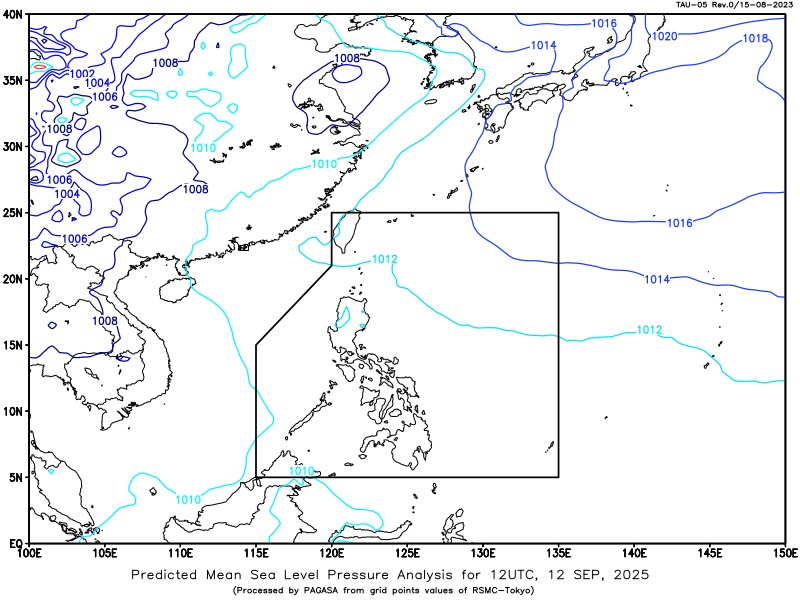
PAGASA is currently monitoring a Low Pressure Area (LPA) located within the Philippine Area of Responsibility (PAR).
According to its daily weather forecast on Friday afternoon, the LPA was last seen at 335 kilometers East of Guiuan, Eastern Samar, as of 3 p.m.
PAGASA said that it had a low chance of developing into a tropical depression within the next 24 hours.
Despite this, the LPA will still cause cloudy skies with scattered rains and thunderstorms over Visayas, Bicol Region, Caraga, Quezon, Romblon, Camiguin, and Misamis Oriental.
The easterlies will bring partly cloudy to cloudy skies with isolated rain showers or thunderstorms over the rest of Luzon, while the rest of Mindanao will have partly cloudy to cloudy skies with isolated rain showers or thunderstorms due to localized thunderstorms.
Possible flash floods or landslides may occur in some areas as a result of said weather conditions.
Meanwhile, light to moderate winds with slight to moderate coastal waters may be expected over the country as a result of said weather conditions.
Sunrise in Metro Manila will be at 5:45 a.m. on Saturday. –NB, GMA Integrated News
