

Storm surge warning up for coastal towns in Bataan, La Union, Pangasinan, Zambales
The state weather bureau on Monday morning warned residents living in low-lying coastal areas in Bataan, La Union, Pangasinan, and Zambales to take extra precautions against storm surges as Tropical Storm Ramil continues to move away from the Philippine landmass.
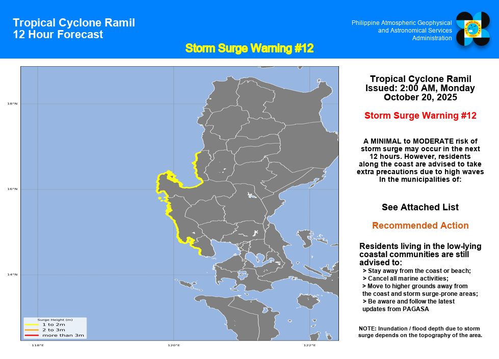
In a storm surge warning issued at 2 a.m., Oct. 20, 2025, the Philippine Atmospheric, Geophysical and Astronomical Services Administration said there is a minimal to moderate risk of storm surges in the next 12 hours.
The height of the waves are expected to reach around one to two meters.
Residents of low-lying coastal areas in Bagac and Morong in Bataan; Agoo, Aringay, Bacnotan, Balaoan, Bauang, Caba, San Fernando, Luna, Rosario, San Juan, and Santo Tomas in La Union; Agno, Anda, Bani, Binmaley, Bolinao, Burgos, Alaminos, Dagupan City, Dasol, Infanta, Labrador, Lingayen, San Fabian, and Sual in Pangasinan; and Botolan, Cabangan, Candelaria, Iba, Masinloc, Olongapo City, Palauig, San Antonio, San Felipe, San Narciso, Santa Cruz, and Subic in Zambales were cautioned to move to higher ground and away from the coast.
PAGASA also recommended that all marine activities be cancelled in the said areas and that the public as well as disaster risk reduction and management officials take appropriate actions and precautionary measures.
The state weather bureau will issue the next storm surge warning at 8 a.m. Monday.
In its latest tropical cyclone bulletin as of 11 p.m. Sunday night, PAGASA said Ramil was last spotted over the West Philippine Sea at 155 km west-northwest of Iba, Zambales or 175 km west of Dagupan City, Pangasinan.
It is moving west-northwest away from the Philippine landmass at 10 km/h with maximum sustained winds of 65 km/h near the center, gustiness of up to 80 km/h, central pressure of 998 hPa, and strong to gale-force winds extending outwards up to 450 km from the center.
Signal No. 1 remains in effect over most of Luzon, including Metro Manila.
Ramil is forecast to continue moving west-northwest over the West Philippine Sea and could exit the Philippine Area of Responsibility (PAR) on Monday morning.
It may reach severe tropical storm category once outside the PAR, PAGASA said. — JMA, GMA Integrated News
