

 GMA Brandtalk
 Tracking
 Archives

Nearly 3,000 barangays susceptible to landslides, floods — geosciences bureau
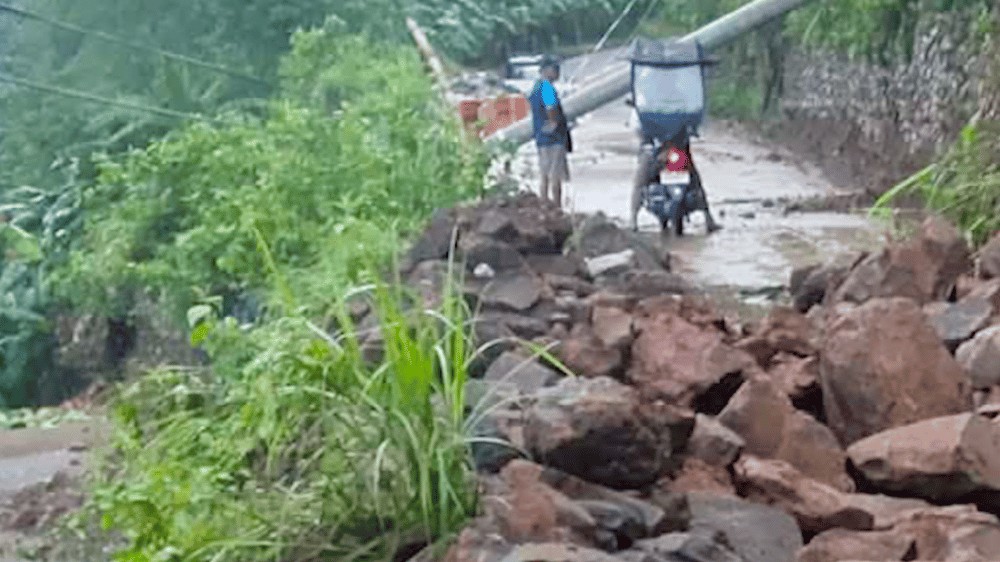
Close to 3,000 barangays nationwide are warned of possible rain-induced landslides and flooding amid the ongoing inclement weather in the country, the Department of Environment and Natural Resources' Mines and Geosciences Bureau (MGB) said.
As of 8 p.m. of Tuesday, August 18, most of the 2,930 landslide- and flood-prone barangays are located in Luzon.
- Central Luzon — 1,019
- Ilocos Region — 757
- NCR — 384
- Cagayan Valley — 300
- Cordillera Administrative Region — 268
- CALABARZON — 102
- MIMAROPA — 100
"Based on the latest DOST-PAGASA 72-hour rainfall forecast, residents in listed areas and those nearby or downstream are urged to remain vigilant and take necessary precautions," the MGB said in an advisory issued on Wednesday.
READ: Is your area prone to flooding? Check UP NOAH's hazard data map
Geohazard susceptibility maps are produced based on local geology, landforms and terrains, and human activities that could elevate disaster risks, the MGB said.
According to state weather bureau PAGASA, the southwest monsoon or Habagat will continue to bring rains over the country on Wednesday.
Meanwhile, Tropical Depression Neneng is being monitored inside the Philippine Area of Responsibility. — VDV, GMA News

