

Siony about to exit PAR, now off the southwestern coast of Taiwan
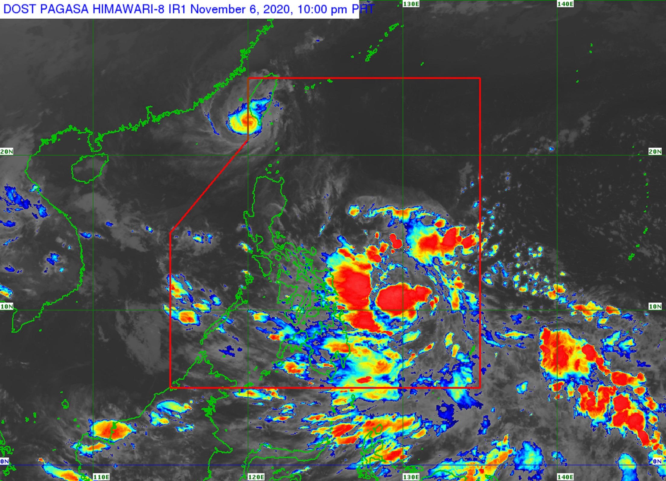
Severe Tropical Storm Siony was off the southwestern coast of Taiwan and was expected to exit the Philippine Area of Responsibility (PAR) within the next two to three hours, PAGASA announced late Friday evening.
In its 11 p.m. severe weather bulletin, the weather agency said that all Tropical Cyclone Wind Signals in the country had been lifted.
At 10 p.m. on Friday, the center of Siony was estimated to be 225 kilometers northwest of Itbayat, Batanes with maximum sustained winds of 95 kilometers per hour near the center and gustiness of up to 115 kph.
It was moving west-northwestward at 15 kph.
PAGASA said Siony may pass close or over the Paracel Islands on Sunday evening and may weaken into a low-pressure area on Sunday due to increasing unfavorable conditions.
Hazards
Meanwhile, rough seas were expected over the coastal waters of the Batanes and the Babuyan Islands due to Siony in the next 24 hours.
PAGASA warned mariners of small seacraft that sea travel was risky.
Moderate to rough seas will, meanwhile, prevail over the remaining seaboards of Northern Luzon and the eastern seaboards of the country.
“Mariners of small seacrafts are advised to take precautionary measures when venturing out to sea. Inexperienced mariners should avoid navigating in these conditions,” PAGASA said.
Other tropical systems
Meanwhile, the low-pressure area (LPA) being monitored by PAGASA was estimated at 705 km east of Surigao City, Surigao del Norte at 10 p.m.
The LPA could develop into a tropical depression within the next few hours and would be called Tonyo.
The next severe weather bulletin will be issued at 11 a.m. on Saturday. — DVM, GMA News
