

Crising to bring rains, gusty winds over parts of Mindanao
Tropical Depression Crising slightly weakens as it continues to approach the Pantaron Mountain Range, according to the 5 am Severe Weather Bulletin posted by PAGASA.
Davao Region, Northern Mindanao, Agusan del Sur, Lanao del Sur, Maguindanao, northern portion Zamboanga del Norte, Zamboanga del Sur, southern portion of Negros Oriental, and Siquijor will experience rains with gusty winds brought about by Crising.
There may be light to moderate damage to structures and vegetation in these areas due to moderate to strong winds, and flash floods or landslides due to moderate to heavy rains.
The rest of Mindanao will have cloudy skies with scattered rainshowers and thunderstorms due to Crising with possible flash floods or landslides during moderate to at times heavy rains.
Meanwhile, Metro Manila and the rest of the country will have partly cloudy to cloudy skies with isolated rainshowers or thunderstorms due to the easterlies with possible flash floods or landslides during severe thunderstorms.
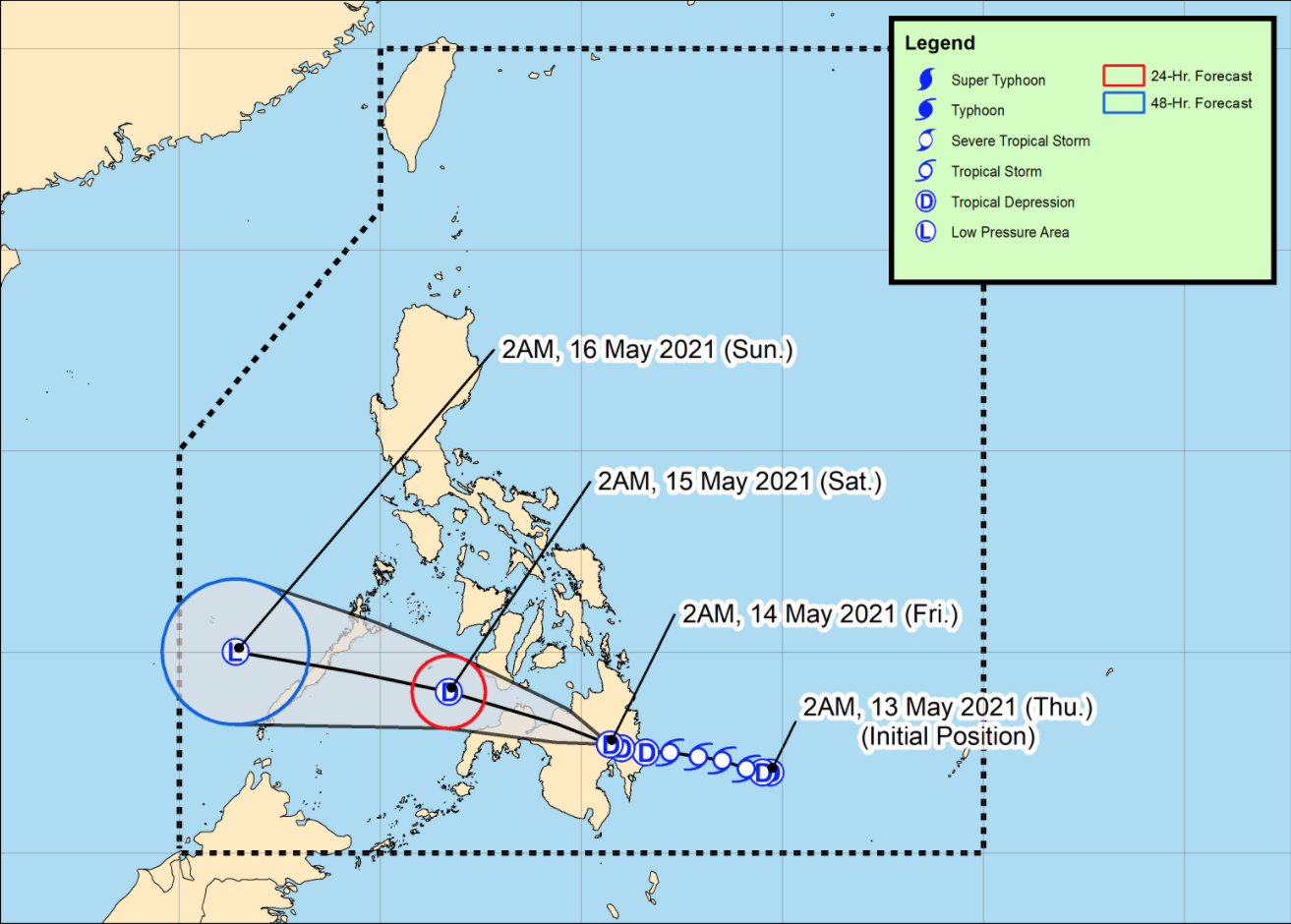
As of 3 am on Friday, the center of Tropical Depression Crising was estimated to be in the vicinity of Kapalong, Davao del Norte with maximum sustained winds of 45 kilometers per hour and gustiness of up to 75 kph and moving in the west northwest direction slowly.
Tropical Cyclone Wind Signal No. 1 remains over the following areas:
Visayas
- the southeastern portion of Negros Oriental (Dumaguete City, Valencia, Sibulan, Santa Catalina, Siaton, Zamboanguita, Dauin, Bacong) and Siquijor
Mindanao
- the southern portion of Surigao del Sur (Barobo, Tagbina, Hinatuan, City of Bislig, Lingig)
- the central and southern portions of Agusan del Sur (Esperanza, San Francisco, Talacogon, San Luis, Rosario, Bunawan, Trento, La Paz, Loreto, Veruela, Santa Josefa)
- the northern and central portions of Davao Oriental (Banaybanay, Lupon, Manay, Caraga, Baganga, Cateel, Boston)
- Davao de Oro
- Davao del Norte
- Davao City
- the northern portion of Cotabato (Magpet, Arakan, Antipas, President Roxas, Matalam, City of Kidapawan, Kabacan, Carmen, Banisilan, Alamada)
- the northern portion of Maguindanao (Buldon, Barira, Matanog)
- Lanao del Norte
- Lanao del Sur
- Misamis Occidental
- Bukidnon
- the central and western portions of Misamis Oriental (Claveria, Balingasag, Lagonglong, Jasaan, Villanueva, Tagoloan, Cagayan de Oro City, Opol, City of El Salvador, Alubijid, Laguindingan, Gitagum, Libertad, Initao, Naawan, Manticao, Lugait)
- the northeastern portion of Zamboanga del Sur (Midsalip, Sominot, Dumingag, Molave, Mahayag, Josefina, Tambulig, Ramon Magsaysay, Aurora, Tukuran, Labangan)
- the northeastern portion of Zamboanga del Norte (Sergio Osmeña Sr., Katipunan, Pres. Manuel A. Roxas, Jose Dalman, Manukan, Dipolog City, Polanco, Piñan, Mutia, Dapitan City, Sibutad, Rizal, La Libertad)
The wind speed forecast for the eastern section of Mindanao is moderate to strong and moving in the northeast to north direction while coastal waters will be moderate to rough.
The rest of Mindanao will have light to moderate wind speed moving in the northeast to east direction while coastal waters will be slight to moderate.
Luzon and Visayas will also have light to moderate wind speed moving in the east to southeast direction while coastal waters will be slight to moderate.
Crising will continue moving westward or west northwestward and cross the rugged terrain of Mindanao before emerging over the Sulu Sea by Friday night. On the forecast track, the tropical depression may cross Palawan on Saturday. -- BAP, GMA News
