

Henry accelerates northwards; Signal 2 remains over Batanes
Typhoon Henry accelerated northwards while maintaining its strength, and Tropical Cyclone Wind Signal (TCWS) No. 2 remained hoisted over Batanes, PAGASA said before noon Saturday.
In its 11 a.m. bulletin, PAGASA said winds greater than 61 km/h and up to 120 km/h may be expected in Batanes in at least 24 hours.
Signal no. 1, where winds of 30-60 km/h or intermittent rains may be expected in at least 36 hours, remained hoisted over Babuyan Islands and the northeastern portion of mainland Cagayan (Santa Ana).
Moderate to heavy rains will thus be likely over Batanes and Babuyan Islands, PAGASA said.
Possible floods, landslides
The weather bureau warned that isolated to scattered flooding, including flash floods, and rain-induced landslides will be possible especially in areas that are highly or very highly susceptible to the said hazards, and in localities with significant antecedent rainfall.
Meanwhile, the Southwest Monsoon enhanced by Typhoon Henry will also bring monsoon rains over the western sections of Northern and Central Luzon in the next 24 hours.
PAGASA added that in the next 24 hours, occasional gusts reaching strong to gale-force strength associated with the enhanced Southwest Monsoon and its convergence with Typhoon Henry's circulation may also be experienced, especially in the coastal and mountainous areas, over Ilocos Region, Cordillera Administrative Region, Central Luzon, Metro Manila, CALABARZON, Bicol Region, Isabela, Nueva Vizcaya, Quirino, Mindoro Provinces, Romblon, and the remaining localities in the mainland Cagayan that are not under any wind signal.
Under the influence of Typhoon Henry, a gale warning is in effect for the seaboards of Northern Luzon and eastern seaboard of Central Luzon.
Moderate to rough seas may also be experienced over the eastern seaboard of Southern Luzon (1.2 to 3.0 m) in the next 24 hours.
Based on the track and intensity outlook, Typhoon Henry will continue moving generally northwards throughout the weekend before turning north northeastward on Monday.
It may exit the Philippine Area of Responsibility (PAR) on Saturday night, but a slight intensification of the typhoon may still take place.
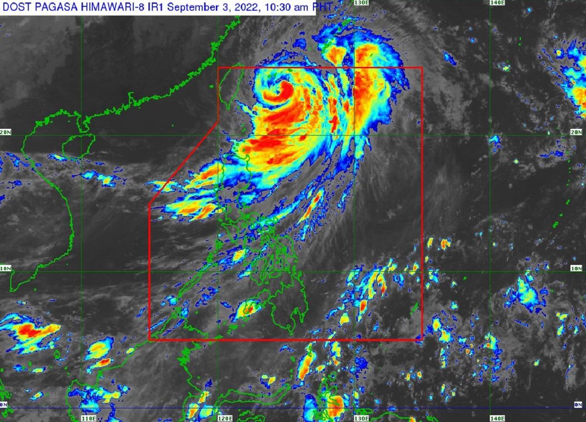
As of 10 a.m., the center of the eye of Typhoon Henry was estimated based on all available data at 405 km northeast of Itbayat, Batanes (23.2 °N, 124.8 °E ).
It is moving northward at 15 km/h, with maximum sustained winds of 150 km/h near the center and gustiness of up to 185 km/h. —LBG, GMA News
