

Dodong moves toward Cagayan; Signal No.1 up in 12 areas
Tropical Cyclone Wind Signal (TCWS) No. 1 is hoisted over 12 areas as Tropical Depression Dodong turned north northwestward and headed to the northwestern Cagayan area, state weather bureau PAGASA said Friday.
In its 8 a.m. bulletin, PAGASA said the following areas are under TCWS No. 1:
- Cagayan
- Isabela
- Apayao
- Kalinga
- Abra
- Mountain Province
- Ifugao
- Benguet
- Ilocos Norte
- Ilocos Sur
- La Union
- The northern portion of Pangasinan (San Nicolas, San Manuel, Sison, San Fabian, Pozorrubio, Bolinao, Bani, City of Alaminos, Sual, Labrador, Lingayen, Agno, Binmaley, Dagupan City, San Jacinto, Mangaldan, Anda)
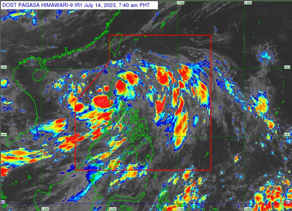
As of 7:00 a.m., Dodong was located in the vicinity of Lasam, Cagayan packing maximum sustained winds of 45 kilometers per hour, gustiness of up to 75 km/h, and central pressure of 1,000 hPa.
PAGASA said an accumulated rainfall of 50 to 100 mm is expected over Cagayan, Isabela, Quirino, Nueva Vizcaya, Apayao, Kalinga, Abra Benguet, Ilocos Norte, La Union, and Pangasinan
Dodong’s strong winds extend outwards up to 180 km from the center.
It was moving north northwestward at 25 km/h.
PAGASA warned of possible flooding and rain-induced landslides, especially in areas that are prone to these hazards and those areas that have experienced considerable amounts of rainfall for the past several days.
Minimal to minor impacts from strong winds (strong breeze to near gale strength) are also possible in areas under TCWS No. 1, PAGASA said.
PAGASA, meanwhile, also said that an enhanced Southwest Monsoon may bring gusty conditions in Mimaropa, Bicol Region, Western Visayas, CALABARZON, Metro Manila, and other areas of Central Luzon not under any wind signal.
Dodong and the enhanced Southwest Monsoon are expected to result in moderate to rough seas over the eastern (up to 2.5 meters) and western (up to 3.5 m) seaboards of Northern Luzon, as well as the western seaboards of Central and Southern Luzon (up to 3.5 m).
PAGASA said the track forecast scenario has changed as Dodong is now forecast to move westward or west northwestward across the northern portion of mainland Northern Luzon and may emerge over the waters west of Ilocos Region.
It will move northwestward over the West Philippine Sea until it exits the Philippine Area of Responsibility (PAR) on Saturday or Sunday, PAGASA said.
Outside the PAR, the tropical depression will move generally west northwestward over the waters south of southern China, PAGASA added.
Dodong may reach tropical storm category by Saturday afternoon or evening while over the West Philippine Sea, according to PAGASA. —Joviland Rita/ VAL, GMA Integrated Newws
