

Tropical depression may enter PAR Thursday or Friday - PAGASA
The new tropical depression may enter the Philippine Area of Responsibility either on Thursday or Friday and will likely strengthen the Southwest Monsoon or Habagat, the state weather bureau PAGASA said Tuesday.
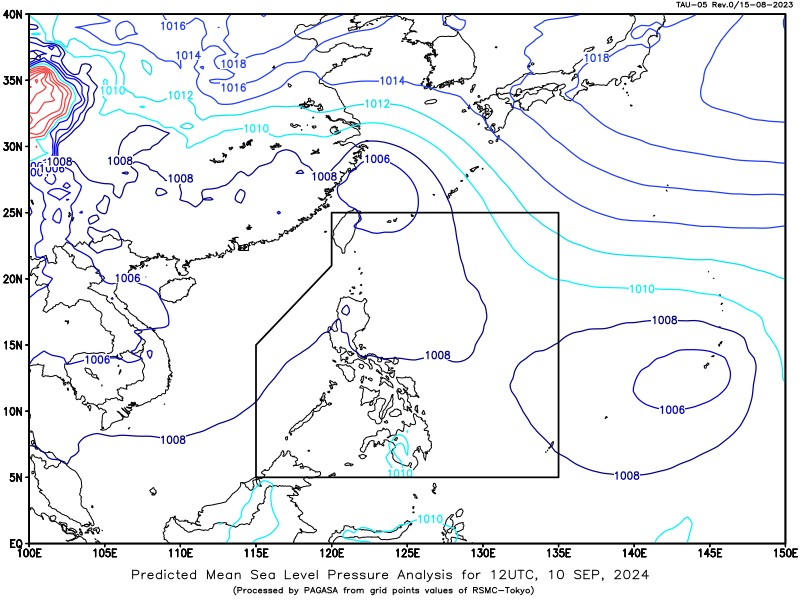
PAGASA weather specialist Veronica Torres said at 3 p.m., the tropical cyclone was located 2,230 kilometers east of Eastern Visayas.
Torres said the tropical depression was expected to move northwestward.
It will be called ''Ferdie'' once inside the PAR.
In its 24-hour weather forecast released at 4 p.m., PAGASA said the trough of the tropical depression would bring cloudy skies with scattered rains and thunderstorms over Caraga and Davao Region.
The rest of the country will have partly cloudy to cloudy skies with isolated rain showers or thunderstorms because of Habagat.
Moderate to at times heavy rains and severe thunderstorms may cause flash floods or landslides, PAGASA said.
Light to moderate winds and slight to moderate coastal waters will be observed across the country.
Sunrise in Metro Manila will be at 5:45 a.m. on Wednesday. — Mariel Celine Serquiña/VBL, GMA Integrated News
