

LPA outside PAR unlikely to become storm — PAGASA
The low pressure area (LPA) monitored outside the Philippine Area of Responsibility (PAR) has a “low” chance of becoming a tropical depression within the next 24 hours, PAGASA said Thursday afternoon.
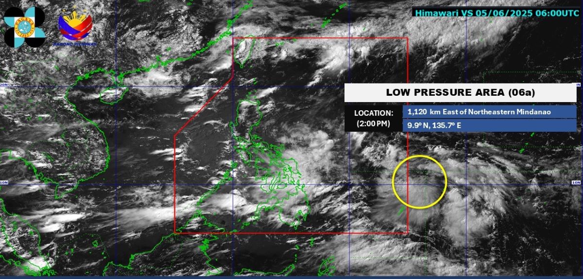
As of 2 p.m., the LPA was located 1,120 kilometers east of northeastern Mindanao.
For now, the Southwest Monsoon (Habagat) and the trough of LPA are expected to bring cloudy skies and rains over several areas of the country.
In its 4 p.m. daily forecast, the state weather bureau said cloudy skies with scattered rains and thunderstorms would persist over MIMAROPA, the Bicol Region, Western Visayas, the Negros Island Region, the Zamboanga Peninsula, BARMM, and Quezon due to the Southwest Monsoon (Habagat).
The same weather conditions will be observed for the rest of the Visayas and Mindanao due to the trough of the LPA.
These moderate to at times heavy rains may cause flash floods and landslides.
Metro Manila and the rest of Luzon will see partly cloudy to cloudy skies with isolated rain showers or thunderstorms due to the Habagat.
These severe thunderstorms may trigger flash floods and landslides.
State meteorologists also said the northern and western sections of Luzon would experience moderate wind and coastal water conditions.
Winds will be light to moderate, while coastal waters will be slight to moderate throughout the rest of the country.
Sunrise in Metro Manila will be at 5:26 a.m. on Friday. —Mariel Celine Serquiña/VBL, GMA Integrated News
