

LPA inside PAR likely to become storm — PAGASA
The low pressure area (LPA) monitored inside the Philippine Area of Responsibility (PAR) has a “high” chance of developing into a tropical depression within the next 24 hours, PAGASA said Monday afternoon.
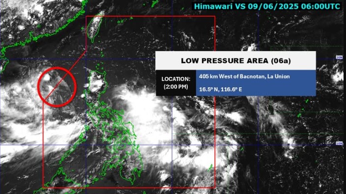
At 3 p.m., the LPA was located 415 kilometers west of Bacnotan, La Union.
For now, the southwest monsoon (Habagat) is expected to bring rain over southern Luzon, Visayas, and Mindanao.
PAGASA weather specialist Rhea Torres said that the LPA will not bring rains to the country, but rather the southwest monsoon will cause a downpour.
“Regardless if this will become a storm or not, we can expect the Habagat to bring rains in most parts of the country,” she said in Filipino during the public weather forecast.
In its 4 p.m. daily weather forecast, the state weather bureau said these areas are Zambales, Bataan, Cavite, Batangas, Occidental Mindoro, and Palawan.
Metro Manila, Visayas, Bicol Region, and the rest of Central Luzon, MIMAROPA, and CALABARZON will see cloudy skies with scattered rains and thunderstorms also due to the Habagat.
These moderate to heavy rains may cause flash floods or landslides.
Partly cloudy to cloudy skies with isolated rain showers or thunderstorms will persist over Mindanao due to the Habagat.
Meanwhile, the rest of Luzon will experience partly cloudy to cloudy skies with isolated rain showers or thunderstorms due to localized thunderstorms.
These severe thunderstorms may trigger flash floods or landslides.
State meteorologists also said winds will be moderate to strong, while coastal waters will be moderate to rough in the western sections of Southern Luzon and Visayas.
The rest of the country will see light to moderate wind conditions and slight to moderate coastal water conditions.
Sunrise in Metro Manila will be at 5:26 a.m. on Tuesday. —Mariel Celine Serquiña/RF, GMA Integrated News
