

LPA outside PAR has ‘low’ chance of becoming storm — PAGASA
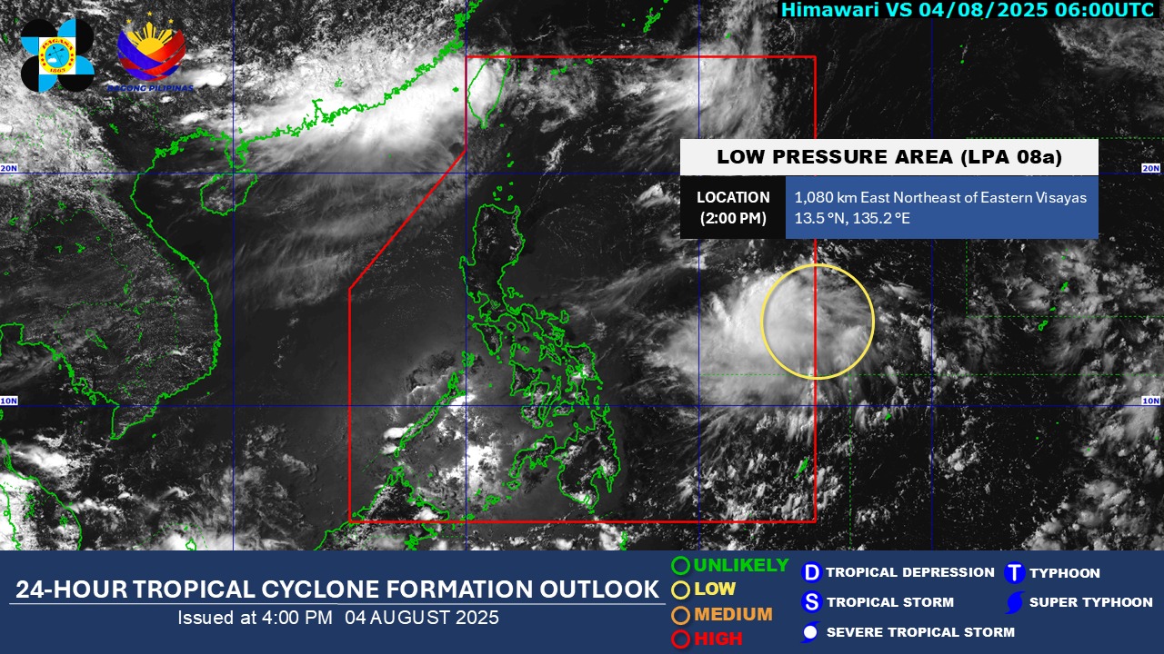
The low pressure area (LPA) being observed outside the Philippine Area of Responsibility has a “low” possibility of becoming a tropical depression within the next 24 hours, PAGASA said Monday afternoon.
At 2 p.m., the LPA was located 1,080 kilometers east northeast of Eastern Visayas.
For now, PAGASA said the Southwest Monsoon (Habagat) is expected to persist over the extreme Northern Luzon within the next 24 hours.
According to its 4 p.m. daily weather forecast, the state weather bureau said the Habagat will bring partly cloudy to cloudy skies with isolated rain showers or thunderstorms over Batanes and Babuyan Islands.
Metro Manila and the rest of the country will see the same weather conditions due to localized thunderstorms.
These severe thunderstorms may trigger flash floods or landslides.
State meteorologists said winds will be light to moderate, while coastal waters will be slight to moderate throughout the country.
Sunrise in Metro Manila will be at 5:40 a.m. on Tuesday. — Mariel Celine Serquiña/RF, GMA Integrated News
