

Gorio maintains strength, moves west northwestward over PH sea
Severe Tropical Storm Gorio has maintained its strength as it heads in the west northwest direction over the Philippine Sea, PAGASA said late Monday evening.
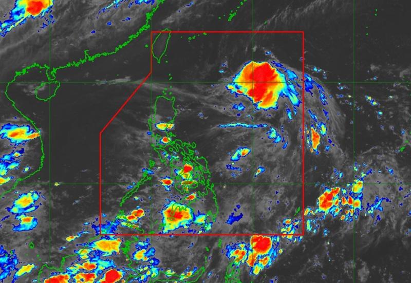
According to its 11 p.m. bulletin, the state weather bureau said Gorio was located 910 kilometers east of Extreme Northern Luzon packing maximum sustained winds of 110 km/h near the center, gustiness of up to 135 km/h and moving west northwestward at the speed of 25 km/h.
Gorio is seen to move generally westward over the next 12 hours before going west northwestward from Tuesday afternoon through the end of the forecast period.
PAGASA said Gorio may make landfall over the eastern coast of Taiwan on Wednesday afternoon and exit the Philippine Area of Responsibility (PAR) by Wednesday evening.
“Gorio may reach typhoon category prior to its landfall to Taiwan before weakening throughout the remaining forecast period,” PAGASA said.
The agency added that Gorio may not affect the country within the next three days.
“However, in the event of a further southward shift in the forecast track, hoisting of Tropical Cyclone Wind Signal over Extreme Northern Luzon is not ruled out,” PAGASA said.
Gorio is expected to bring up to moderate seas (up to 2.5 m) over the coastal waters of Extreme Northern Luzon.
“Mariners of motor bancas and similarly sized vessels are advised to take precautionary measures while venturing out to sea and, if possible, avoid navigating in these conditions, especially if inexperienced or operating ill-equipped vessels,” PAGASA said. — BAP, GMA Integrated News
