

LPA inside PAR has 'low' chance of becoming cyclone — PAGASA
The low pressure area inside the Philippine Area of Responsibility (PAR) has a low chance of developing into a tropical depression within the next 24 hours, weather service PAGASA said Thursday afternoon.
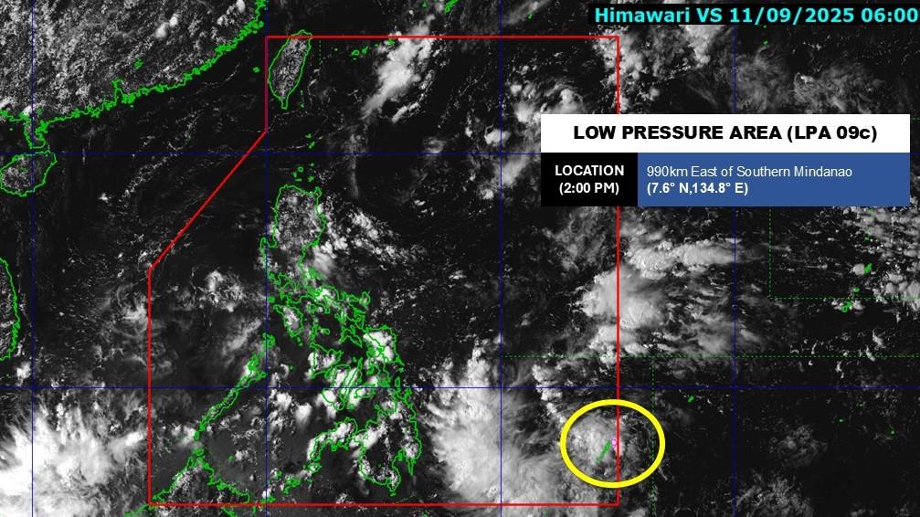
At 3 p.m., the LPA was monitored 980 kms east of Southern Mindanao.
For now, its trough will affect the weather conditions of Eastern Samar, Southern Leyte, Dinagat Islands, Surigao del Norte, Surigao del Sur, and Davao Oriental, according to a bulletin by the state weather bureau.
Partly cloudy to cloudy skies with isolated rainshowers or thunderstorms will persist in Metro Manila, the rest of Luzon, and the rest of Visayas due to the Southwest Monsoon (Habagat).
The rest of Mindanao will experience the same weather conditions due to localized thunderstorms.
PAGASA warned that these weather conditions may trigger flash floods or landslides.
State meteorologists also said winds will be light to moderate, while coastal waters will be slight to moderate in Northern Luzon, Visayas and the rest of Luzon.
Meanwhile, Mindanao will see light wind conditions and slight coastal water conditions.
Sunrise in Metro Manila will be at 5:45 a.m. Friday. — VDV, GMA Integrated News
