

17 areas under Signal No. 1 as Mirasol moves over Ifugao
Tropical Cyclone Wind Signal (TCWS) No. 1 has been raised over 17 areas in Luzon as Tropical Depression Mirasol moved over Ifugao on Wednesday morning, state weather bureau PAGASA said.
In its 11 a.m. bulletin, PAGASA said the following areas were under TCWS No. 1:
- Batanes
- Cagayan including Babuyan Islands
- Isabela
- Quirino
- Nueva Vizcaya
- northern and central portions of Aurora (Dilasag, Casiguran, Dinalungan, Dipaculao, Baler, Maria Aurora)
- Apayao
- Abra
- Kalinga
- Mountain Province
- Ifugao
- Benguet
- Ilocos Norte
- Ilocos Sur
- La Union
- northeastern portion of Pangasinan (San Nicolas, Natividad, San Manuel, Sison, San Quintin, Tayug)
- northern portion of Nueva Ecija (Carranglan, Pantabangan)
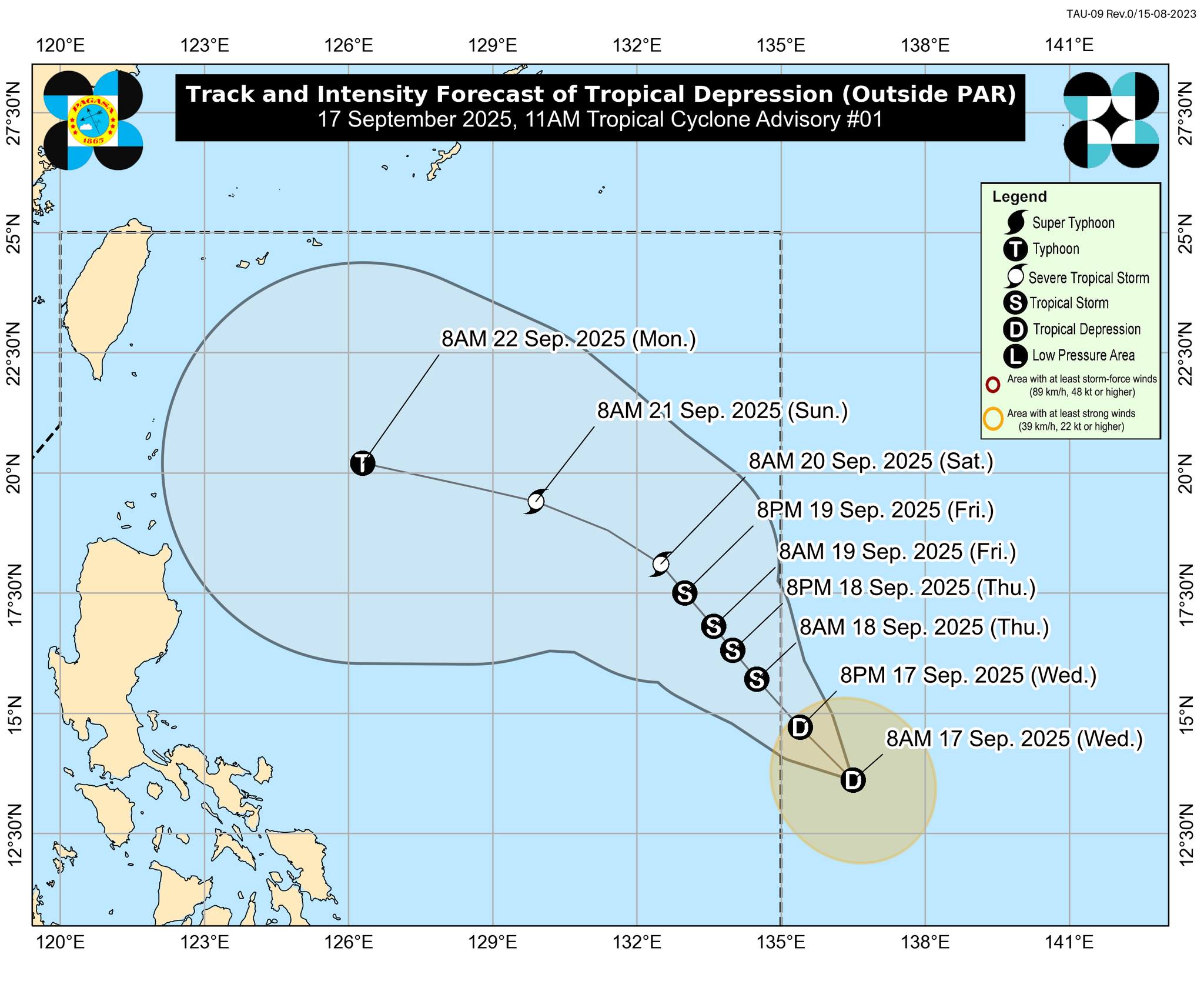
Mirasol was last located in the vicinity of Alfonso Lista, Ifugao, packing maximum sustained winds of 55 kph near the center and gusts of up to 90 kph.
The tropical depression was moving northwestward at 15 kph.
It is expected to intensify into a tropical storm as it moves over the Luzon Strait, with Signal No. 2 possibly raised over some areas.
"Mirasol is forecast to move north northwestward within the next 12 hours while traversing Northern Luzon. This tropical depression will re-emerge over the Luzon Strait this afternoon or evening and will continue moving northwestward until it exits the Philippine Area of Responsibility tomorrow (18 September) morning or afternoon," PAGASA said.
"Once it is over the Luzon Strait, it is forecast to intensify and may reach tropical storm category tonight or tomorrow early morning," it added.
Very light or no damage may be expected for low-risk structures, while medium to high-risk structures may have light damage. — VDV, GMA Integrated News
