

Salome downgraded to LPA, may dissipate within 24 hours
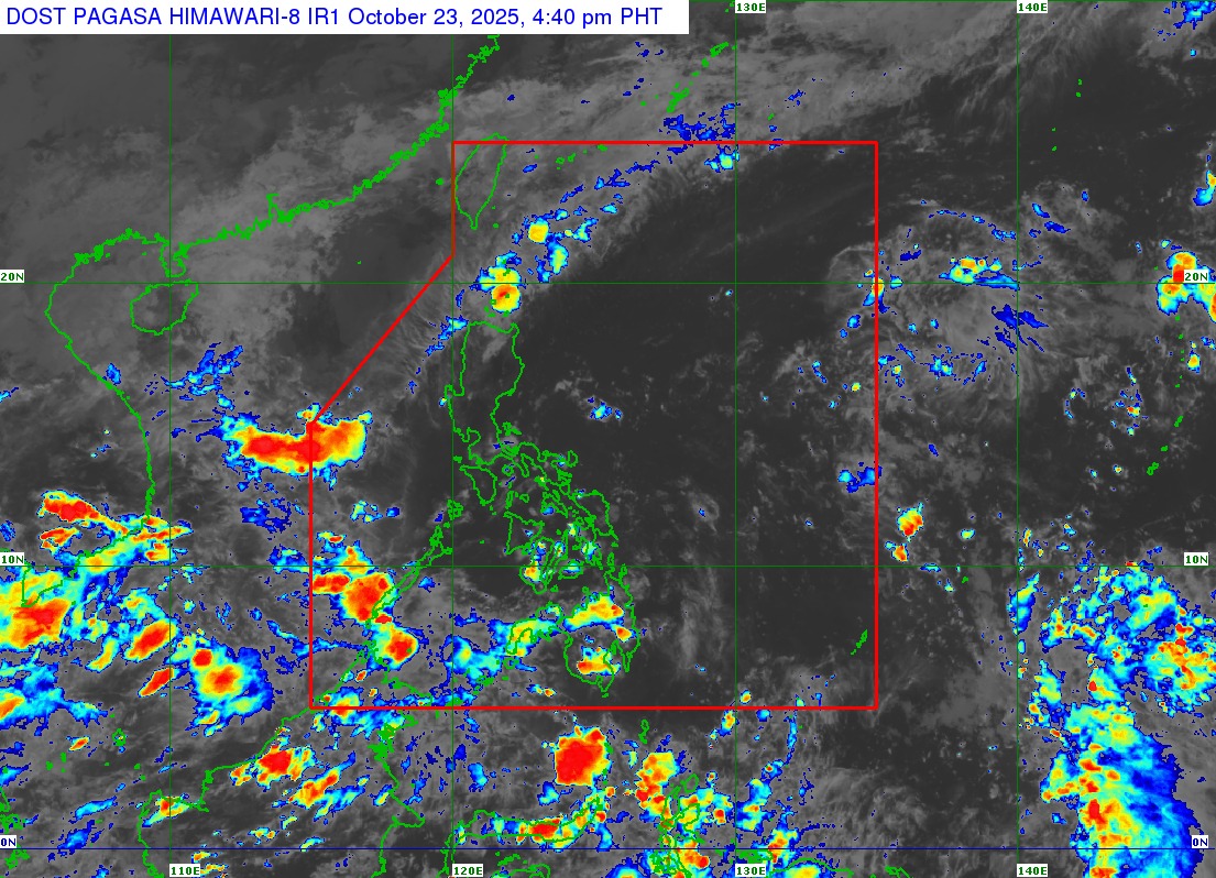
Tropical Depression Salome has been downgraded to a low pressure area because of cold and dry air from the northeasterly windflow, PAGASA said in its 5 p.m. Thursday bulletin.
"The remnant low will continue to move generally southwestward and may dissipate within the next 24 hours," PAGASA said.
Still, the LPA, located 130 km west northwest of Laoag City at 3 p.m., will bring cloudy skies with scattered rains and thunderstorms over Ilocos Norte, Batanes, and the Babuyan Islands in the next 24 hours.
The state weather bureau warned of possible flash floods or landslides caused by moderate to at times heavy rainfall.
Meanwhile, the ITCZ will bring cloudy skies with scattered rain showers and thunderstorms over Negros Island Region, Zamboanga Peninsula, Bangsamoro Autonomous Region in Muslim Mindanao (BARMM), Palawan, Iloilo, Guimaras, Misamis Occidental, Lanao del Norte, and Sultan Kudarat. Similar hazards such as flash floods and landslides are possible in these areas.
The Bicol Region, Quezon, Northern Samar, and Eastern Samar will also have cloudy skies with scattered rains and thunderstorms, this time due to easterlies, or warm winds from the Pacific Ocean.
The rest of Mindanao, Metro Manila, and most of Luzon will have partly cloudy to cloudy skies with isolated rain showers or thunderstorms, which may trigger flash floods or landslides during severe thunderstorms, PAGASA said.
Moderate to strong winds from the northeast will prevail over the northern and western sections of Northern Luzon, with moderate to rough coastal waters reaching 2.1 to 3.7 meters.
Light to moderate winds from the southeast to northeast will affect the Visayas and the rest of Luzon, with slight to moderate seas (0.6 to 2.5 meters), while Mindanao will have light to moderate winds from the southwest to southeast and slight to moderate seas (0.6 to 1.8 meters).
The sun will rise over Metro Manila at 5:49 a.m. on Friday. —Sherylin Untalan/VBL, GMA Integrated News
