

Gardo maintains strength, to exit PAR on Friday — PAGASA
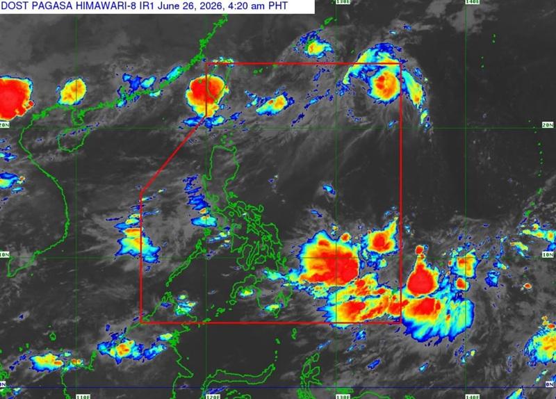
Severe Tropical Storm Gardo has maintained its strength as it moves north northwestward over the Philippine Sea, PAGASA said in its Tropical Cyclone Bulletin posted early Friday morning.
PAGASA said the center of Severe Tropical Storm Gardo was estimated at 1,280 km east northeast of Extreme Northern Luzon, packing maximum sustained winds of 95 km/h near the center, gustiness of up to 115 km/h, and central pressure of 990 hPa.
Gardo was moving north northwestward at 25 km/h with strong to storm-force winds extending outwards up to 260 km from the center, the weather bureau said.
There were no wind signals raised by PAGASA.
The Southwest Monsoon will bring strong to gale-force gusts over the following areas (especially in coastal and upland areas exposed to winds) over most of Luzon.
For rainfall forecast, 50 to 100mm of rain expected over Zambales, Bataan, and Occidental Mindoro that may cause localized flooding mainly in areas that are urbanzed, low-lying or near rivers. Landslide may occur in susceptible areas.
Severe Tropical Storm Gardo will remain far from the Philippine landmass throughout the forecast period and is forecast to move generally northward until it exits PAR by Friday morning or at noon.
"Gardo is forecast to weaken into a tropical storm in the afternoon. However, the possibility that Gardo will remain a severe tropical storm within the next 12 hours is not ruled out," said PAGASA. — BAP/RSJ, GMA News
