


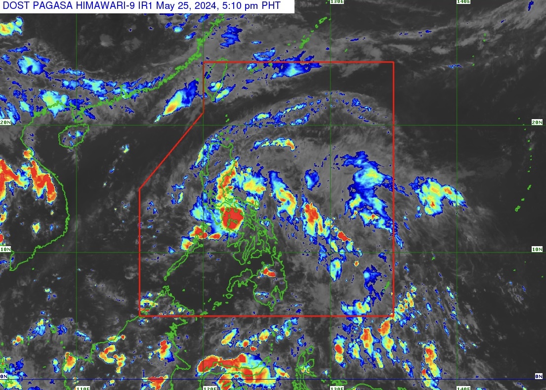
Tropical Depression “Aghon” (TD Aghon) maintains its strength as it continues to move west northwestward over Sibuyan sea at 20 kilometers per hour (km/h).
In PAGASA’s Tropical Cyclone Bulletin Number 12 issued at 5 p.m. on May 25, 2024, the center of TD Aghon was estimated based on all available data over the coastal waters of Sibuyan.
Sibuyan sea is the body of water that separates the Visayas from Luzon, in the vicinity of Mindoro to the west and Masbate to the east.
TD Aghon moves at maximum sustained winds of 45 km/h near the center and gustiness of up to 70 km/h.
TROPICAL CYCLONE WIND SIGNALS (TCWS) IN EFFECT
TCWS Number 1 (strong winds) is raised over the following areas in Luzon:
The eastern portion of Quirino (Maddela, Nagtipunan), the eastern portion of Nueva Vizcaya (Alfonso Castaneda), Bulacan, the eastern portion of Nueva Ecija (General Tinio, Gabaldon, Bongabon, Pantabangan, Rizal, General Mamerto Natividad, Laur, Palayan City, Peñaranda, San Leonardo, City of Gapan, Cabanatuan City, Santa Rosa, San Isidro, Cabiao, San Antonio, Jaen), the eastern portion of Pampanga (Candaba, San Luis, San Simon, Apalit, Santa Ana, Arayat), Aurora, Quezon including Pollilo Islands, Metro Manila, the eastern portion of Cavite (Mendez, Gen. Mariano Alvarez, Noveleta, Silang, City of Dasmariñas, City of General Trias, Amadeo, Carmona, Kawit, Rosario, Tanza, Alfonso, Tagaytay City, Bacoor City, Trece Martires City, Imus City, Indang), Laguna, Rizal, the eastern portion of Batangas (Lobo, Taysan, Rosario, Padre Garcia, San Juan, Santo Tomas, Batangas City, Tingloy, Bauan, San Luis, Mabini, San Pascual, San Jose, Ibaan, Lipa City, Mataasnakahoy, Balete, Malvar, Calaca, Cuenca, Talisay, Agoncillo, Lemery, City of Tanauan, Alitagtag, San Nicolas, Laurel, Santa Teresita, Taal), Marinduque, the northeastern portion of Oriental Mindoro (Pinamalayan, Pola, Naujan, Victoria, Socorro, City of Calapan, Bansud, Gloria, Baco, San Teodoro, Puerto Galera, Bongabong, Roxas), the eastern portion of Occidental Mindoro (Sablayan, Abra de Ilog), and Romblon, Camarines Norte, Camarines Sur, Catanduanes, Albay, Sorsogon, the northern portion of Masbate (Uson, Dimasalang, City of Masbate, Mobo, Cawayan, Palanas, Aroroy, Balud, Mandaon, Milagros, Baleno) including Burias and Ticao Islands.
HEAVY RAINFALL OUTLOOK
Forecast accumulated rainfall: May 25, 2024 to May 26, 2024 (afternoon)
• 100-200 mm: Quezon including Polillo Islands, the eastern portions of Laguna and Rizal, Marinduque, Romblon, Camarines Norte, Camarines Sur, and Catanduanes
• 50-100 mm: Eastern portion of Isabela, Aurora, Metro Manila, the rest of CALABARZON, Oriental Mindoro, Occidental Mindoro, and the northern portion of Western Visayas
Forecast accumulated rainfall: May 26, 2024 (afternoon) to May 27, 2024 (afternoon)
• 100-200 mm: Quezon including Polillo Islands, Camarines Norte, Camarines Sur, and Catanduanes.
• 50-100 mm: Aurora, the eastern portions of Isabela, Laguna, Rizal, Albay, and the northern portion of Masbate including Burias Island
Forecast rainfall are generally higher in elevated or mountainous areas. Under these conditions, flooding and rain-induced landslides are possible especially in areas that are highly or very highly susceptible to these hazards as identified in hazard maps and in localities that experienced considerable amounts of rainfall for the past several days.
HAZARDS AFFECTING COASTAL WATERS
TD Aghon will bring moderate to rough seas (1.5 to 3.5 m) over the coastal waters along the seaboards of Bicol Region, Quezon, the eastern seaboard of Eastern Visayas, and the western seaboard of Samar and Northern Samar.
Mariners of motor bancas and similarly-sized vessels are advised to take precautionary measures while venturing out to sea and, if possible, avoid navigating in these conditions, especially if inexperienced or operating ill-equipped vessels.
The next tropical cyclone bulletin will be issued at 8 p.m. today, May 25, 2024.
