
Huaning unlikely to directly affect country; Habagat to bring gusty conditions over Luzon
Tropical Storm Huaning (international name: Lupit) is unlikely to directly affect the weather condition and bring heavy rainfall in the country, but the enhanced Southwest Monsoon (Habagat) is expected to bring gusty conditions over certain Luzon areas, PAGASA said on Saturday.
"No Tropical Cyclone Wind Signal is currently in effect," PAGASA said in its 11 a.m. bulletin.
The hoisting of Tropical Cyclone Wind Signals over any land area in the country is also unlikely.
However, the Southwest Monsoon enhanced by Huaning will bring gusty conditions over Batanes, Babuyan Islands, Ilocos Norte, Ilocos Sur, Apayao, and Abra, PAGASA said.
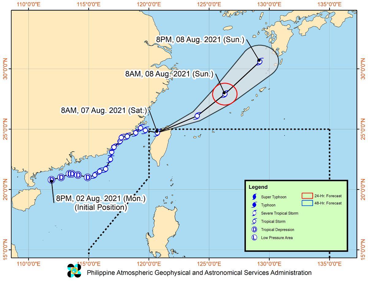
Huaning entered the Philippine Area of Responsibility (PAR) at 5 a.m. on Saturday.
Based on the forecast track, Huaning, which made its landfall in the vicinity of Hsinchu City in Taiwan, is forecast to move generally east northeastward until Saturday night.
It is expected to exit the PAR and emerge off the north or northeastern coast of Taiwan over the East China Sea on Saturday afternoon or evening. Huaning will then turn northeastward and head towards the direction of Kyushu in southern Japan.
PAGASA forecasted that Huaning will remain a tropical storm throughout the forecast period, and the possibility that the storm will weaken into a tropical depression while traversing Taiwan is not ruled out at this time.
As of 11 a.m., the center of Huaning was estimated based on all available data in the vicinity of Hsinchu County, Taiwan or 465 kms north of Itbayat, Batanes.
It has maximum sustained winds of 65 km/h near the center, gustiness of up to 110 km/h, and central pressure of 992 hPa
The storm is moving east-southeastward at 15 km/h, with strong winds extending outwards up to 280 km from the center. —Jamil Santos/KG, GMA News
