

Signal No. 2 in three areas as Goring loops over Philippine Sea
Super Typhoon Goring has begun to make a counter-clockwise loop over the Philippine Sea, PAGASA said late Sunday night, with the possibility of higher storm signals being raised over extreme northern Luzon later as a result.
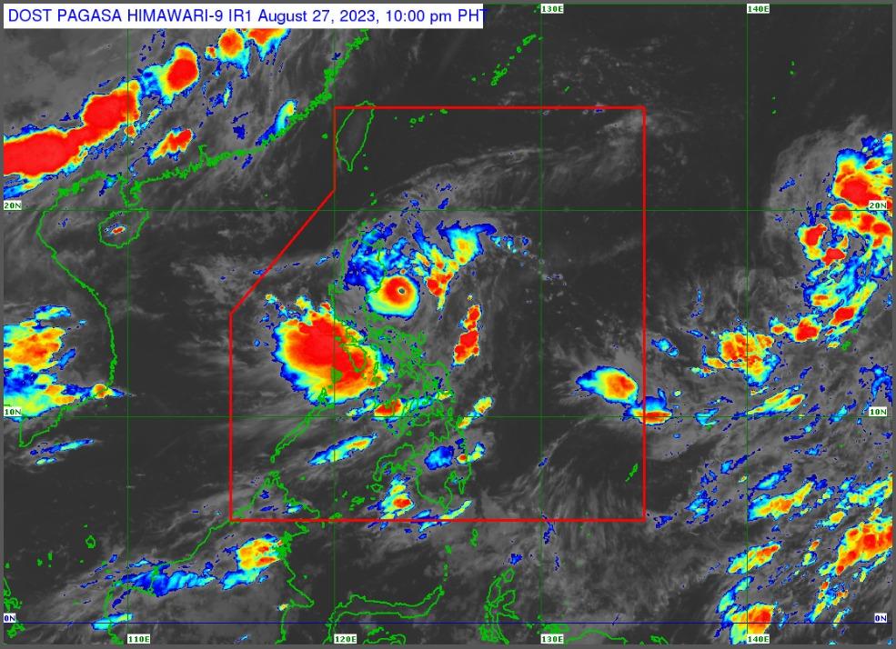
In its 11 p.m. tropical cyclone bulletin, the state weather bureau said that the center of Goring's eye is estimated to be 125 km east of Casiguran, Aurora, with the storm packing maximum sustained winds of 185 km/h near the center, gustiness of up to 230 km/h, and central pressure of 935 hPa.
Goring is moving east-southeast at 10 km/h, with strong to typhoon-force winds extending outwards up to 260 km from the center, PAGASA added.
While Signal No. 3 has been taken down over two areas, PAGASA said that it does not rule out bringing back higher storm signals over extreme northern Luzon "[d]ue to the looping nature of the forecast track of Goring...Hoisting of Wind Signal No. 3 or 4 over the Batanes-Babuyan Islands area is not ruled out," it said.
Signal No. 2 has been hoisted over the following areas:
- The eastern portion of Isabela (Dinapigue, San Mariano, Naguilian, San Guillermo, Luna, City of Cauayan, Echague, Ilagan City, Angadanan, Benito Soliven, Tumauini, Reina Mercedes, San Agustin, Palanan, Divilacan, Gamu, Jones, Maconacon),
- the eastern portion of Quirino (Maddela),
- and the extreme northern portion of Aurora (Casiguran, Dinalungan, Dilasag)
Signal No. 1 has been declared over:
- Batanes,
- Babuyan Islands,
- mainland Cagayan,
- the rest of Isabela,
- the rest of Quirino,
- Nueva Vizcaya,
- Apayao,
- Kalinga,
- Abra,
- Mountain Province,
- Ifugao,
- the eastern portion of Benguet (Bokod, Buguias, Kabayan, Mankayan),
- the eastern portion of Ilocos Norte (Pagudpud, Adams, Vintar, Carasi, Nueva Era, Banna, Marcos, Dingras, Solsona, Piddig, Dumalneg, Bangui),
- the eastern portion of Nueva Ecija (Carranglan, Pantabangan, Bongabon, Gabaldon, Laur, Rizal),
- the rest of Aurora,
- Polillo Islands, and
- Calaguas Islands
Forecast rainfall
Enhanced by Goring, the Southwest Monsoon or Habagat is expected to bring occasional or monsoon rains over the western portions of central Luzon, southern Luzon, and Visayas over the next three days, PAGASA said.
It is also expected to bring gusty conditions to Aurora, Bataan, Metro Manila, Calabarzon, Mimaropa, the Bicol Region, Visayas, Dinagat Islands, Camiguin, and most of the Zamboanga Peninsula on Monday, though these are not under any storm signals.
Track
Goring is forecast to remain a super typhoon and will continue on its counterclockwise track through Monday, before turning northwest on Tuesday. It is expected to make a close approach to Batanes on Wednesday, with PAGASA not ruling out landfall. It is forecast to exit the Philippine Area of Responsibility on Thursday afternoon or evening. — BM, GMA Integrated News
