

Habagat to bring rains over Ilocos provinces — PAGASA
Rains will persist over the Ilocos provinces due to the Southwest Monsoon (habagat), state weather bureau PAGASA said Monday.
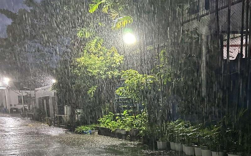
In its 11 am advisory, PAGASA said 50-100 millimeters of rain may be experienced over Ilocos Norte and Ilocos Sur. This comes following the exit of tropical cyclone Bising (international name: Danas) from the Philippine area of responsibility (PAR) and its downgrade to a severe tropical storm earlier.
PAGASA warned of localized flooding in urbanized, low lying, or areas near rivers. Landslide is also possible in highly susceptible areas.
Marine gale warning
A marine gale warning will remain in effect over the coastal waters of Ilocos Region, Cagayan, Isabela, Aurora, Zambales, Bataan, Quezon, Occidental Mindoro, Masbate, and Romblon due to habagat.
The weather bureau warned mariners of small seacrafts, including all types of motorbancas to refrain from venturing to the sea under the conditions.
Bising
Earlier, PAGASA lifted the tropical wind signal over all areas in the country after Bising exited PAR again at 5 a.m. It continued to move north northeastward over the next 12 hours before turning northward over the East China Sea by morning July 8.
By afternoon, it is forecast to turn generally westward, making landfall over the Eastern China region. It will continue to move west southwestward until it becomes a remnant low by July 9.
The severe tropical storm will continue to weaken over the East China Sea due to unfavorable conditions. It is forecast to weaken into a remnant low by Wednesday as it moves over the landmass of Eastern China.
The center of the eye of Bising was estimated based on all available data 605 km North of Itbayat, Batanes (outside PAR), moving northward at 35 km/h and has maximum sustained winds of 100 km/h near the center and gustiness of up to 125 km/h. — Sundy Locus/RSJ, GMA Integrated News
