

 GMA Brandtalk
 Tracking
 Archives

Tropical Depression Neneng slows down over east of Taiwan while keeping strength
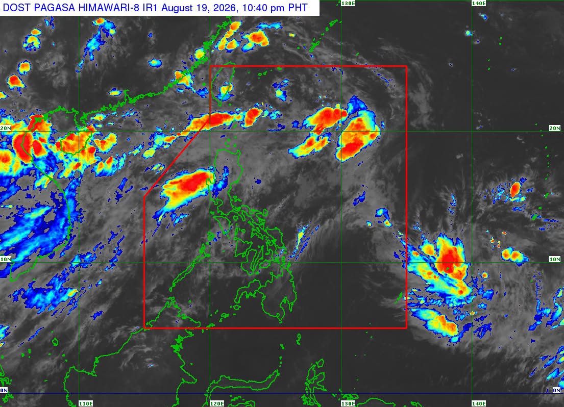
Tropical Depression Neneng slowed down over the sea east of Taiwan as it kept its strength while moving west-northwest at a speed of 15 kph.
According to PAGASA’s 11 p.m. tropical cyclone bulletin, Neneng had maximum sustained winds of 45 kph near the center and gustiness of up to 55 kph.
It was spotted at 365 km northwest of Itbayat, Batanes.
No storm signals have been raised, but PAGASA warned that the Southwest Monsoon or Habagat will bring gale-force gusts over most of Luzon and the Visayas, Zamboanga Peninsula, Northern Mindanao, and Davao Region from Wednesday night to Thursday, especially in coastal and upland areas.
Gale-force gusts are also likely on Friday in most of Luzon, Panay Island, Negros Occidental, Northern Samar, and Davao Oriental.
According to PAGASA’s Southwest Monsoon advisory issued at 11 p.m., the Habagat will bring rainfall of 100 to 200 mm over Pangasinan, Zambales, and Bataan from Wednesday night to Thursday evening.
PAGASA said numerous flooding events are likely in the said areas, especially in areas that are urbanized, low lying, or near rivers. Landslides are likely in moderate to highly susceptible areas.
Fifty to 100 mm of rain is expected during the same period over Metro Manila, Ilocos Norte, Ilocos Sur, La Union, Batanes, Abra, Benguet, Tarlac, Pampanga, Bulacan, Nueva Ecija, Cavite, Batangas, Laguna, Rizal, and Occidental Mindoro.
“Localized flooding is possible mainly in areas that are urbanized, low-lying, or near rivers. Landslide possible in highly susceptible areas,” PAGASA said regarding these areas. –NB, GMA News

