

 GMA Brandtalk
 Tracking
 Archives


Rosal to bring rains in Central Luzon, NCR
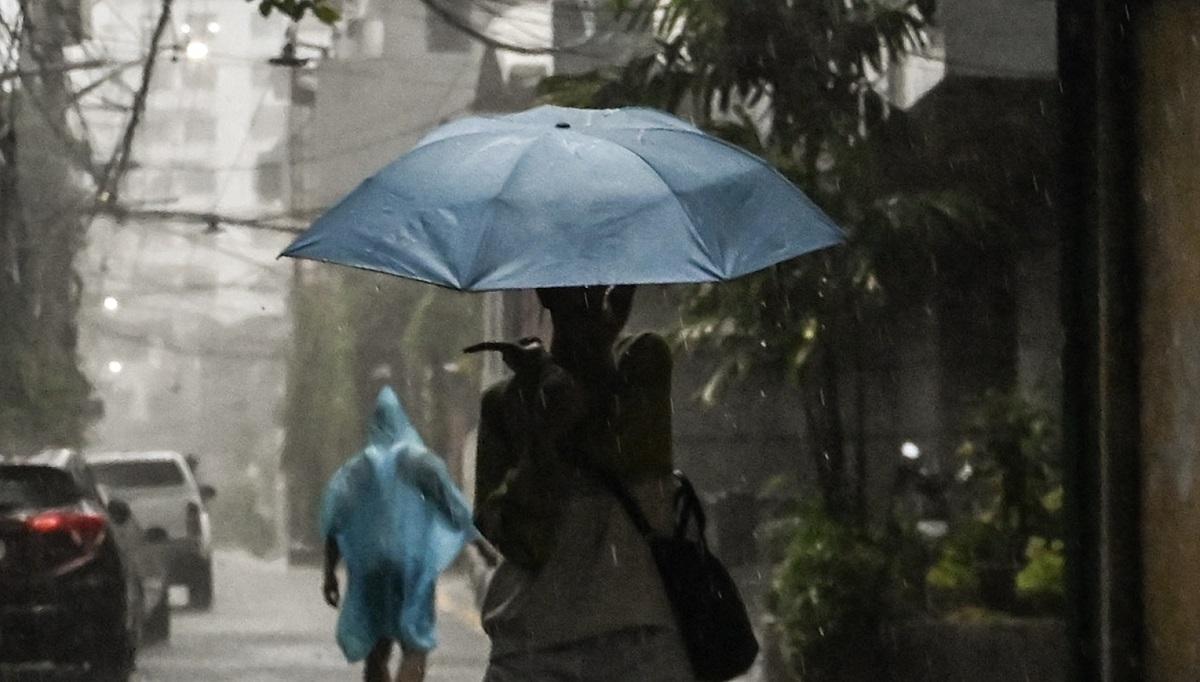
Central Luzon and Metro Manila will experience rains in the coming days as Super Typhoon Champi has entered the Philippine Area of Responsibility (PAR) on Tuesday morning and was given the local name Rosal, according to PAGASA.
"Magkaroon pa rin ang paulan sa atin dito sa Metro Manila [dahil] meron tayong weather system. Pero yung para mag-raise tayo ng heavy rainfall warning, sa ngayon siguro medyo hindi," PAGASA Administrator na si Nathaniel Servando said in a press briefing.
(We will still have rain here in Metro Manila [because] we have a weather system. But there is a low chance for us to raise a heavy rainfall warning.)
"Titignan natin sa mga succeeding na mga issuances natin or sa mga analysis natin kung magkakaroon ng malalakas na paulan. Pero dahil nga mayroon tayong system, most likely malaking chance na magkaroon pa rin ang paulan sa Metro Manila and Central Luzon," PAGASA weather specialist Samuel Duran said in the same press briefing.
(We will look at our succeeding issuances or our analysis if there will be heavy rains. But since we have a weather system, most likely there is a big chance that there will still be rain in Metro Manila and Central Luzon.)
Signal No. 1 was raised over the following areas after super typhoon entered PAR at 10:40 a.m.:
Batanes;
- The eastern portion of Babuyan Islands (Babuyan Is., Camiguin Is., Didicas Is.);
- The eastern portion of mainland Cagayan (Santa Ana, Gonzaga, Lal-Lo, Santa Teresita, Camalaniugan, Aparri, Buguey, Gattaran, Baggao, Peñablanca);
- The northeastern portion of Isabela (Maconacon, Divilacan, Palanan, San Pablo, Cabagan, Santa Maria, Tumauini, Ilagan City); and
- The northeastern portion of Catanduanes (Pandan, Bagamanoc, Panganiban, Viga, Gigmoto).
Servando said strong winds are expected since Rosal is a super typhoon, but the storm will not directly come close to the Batanes group of islands.
"We expect na malakas ang hangin, Signal No. 3, meaning more than 100km per hour, at kung tingnan natin ang satellite image, malawak din ang sinasakupang cloud bundles nito kaya in-expect natin ng malakas mga pag-ulan," Servando said.
(We expect strong winds, Signal No. 3, meaning more than 100km per hour, and if we look at the satellite image, it also has extensive cloud bans, so we expect heavy rains.)
He added that the storm will be closest to the country's landmass by Thursday so more areas are expected to be under a wind signal in the coming days.
Rosal will generally move west northwestward until Wednesday, October 21, before moving generally northwestward until Friday morning, October 23, according to the PAGASA cyclone advisory.
According to PAGASA Climate Monitoring and Prediction Section Chief Ana Liza Solis, there are more storms under typhoon and super typhoon category during the El Niño whether the phenomenon is weak, moderate, strong, or very strong.
"[U]sually, mas maraming pa yung land falling and crossing ng bagyo of typhoon and super typhoon category kapag may El Niño during the months of October so it happens na very unsual itong track ng bagyo," Solis said.
(IUsually, there is more land falling and crossing of typhoon and super typhoon category storms when there is El Niño during the months of October so it happens that this storm track is very unusual.)
PAGASA Deputy Administrator for Research and Development Marcelino Villafuerte earlier said that the Philippines is already experiencing a strong El Niño, with the phenomenon likely intensifying even further before the year ends.
PAGASA said the average temperature across the Philippines is set to rise by 1 to 2 degrees Celsius during theElNiño phenomenon. —VAL, GMA News

